Kapuka South Area, Kapuka South Postcode & Map in Kapuka South
Kapuka South Area, Kapuka South Postcode & Map in Kapuka South, Southland District, New Zealand
Kapuka South, Southland District, New Zealand
Kapuka South Area (estimated)
42.6 square kilometersKapuka South Population (estimated)
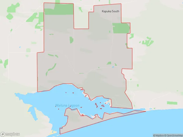
59 people live in Kapuka South, Waihopai Toetoe Community, NZKapuka South Suburb Area Map (Polygon)
Kapuka South Introduction
Kapuka South is a small rural community in Southland, New Zealand, located in the southern part of the Southland District. It is situated on the banks of the Kapuka River, approximately 10 kilometers south of Invercargill. The community has a population of around 100 people and is known for its scenic surroundings, including the Kapuka Range and the surrounding farmland. Kapuka South is a popular destination for outdoor enthusiasts, with numerous hiking and cycling trails in the area. The community also has a primary school and a small supermarket.Region
Major City
Suburb Name
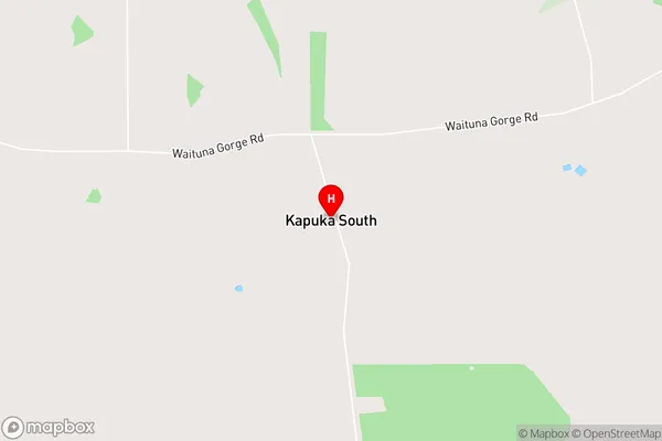
Kapuka SouthKapuka South Area Map (Street)
Local Authority
Southland DistrictFull Address
Kapuka South, Southland District, New ZealandAddress Type
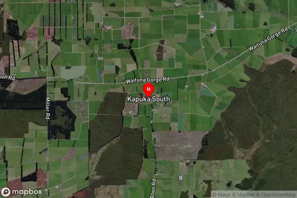
Locality in City InvercargillKapuka South Suburb Map (Satellite)
Country
Main Region in AU
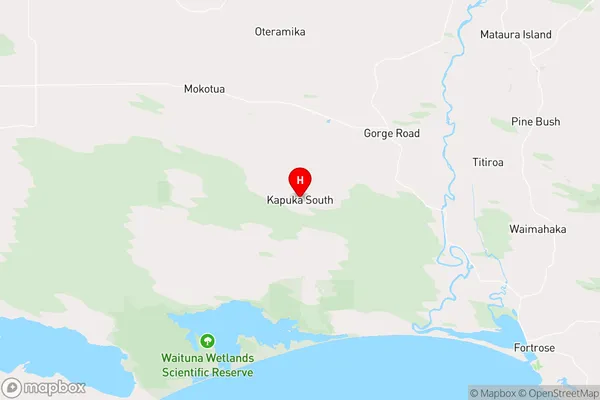
SouthlandKapuka South Region Map
Coordinates
-46.50532,168.63992 (latitude/longitude)Distances
The distance from Kapuka South, Invercargill, Southland District to NZ Top 10 Cities