Awarua Wetlands Area, Awarua Wetlands Postcode & Map in Awarua Wetlands
Awarua Wetlands Area, Awarua Wetlands Postcode & Map in Awarua Wetlands, Southland District,
Awarua Wetlands, Southland District,
Awarua Wetlands Area (estimated)
136.9 square kilometersAwarua Wetlands Population (estimated)
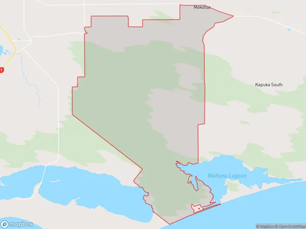
155 people live in Awarua Wetlands, Invercargill, NZAwarua Wetlands Suburb Area Map (Polygon)
Awarua Wetlands Introduction
Awarua Wetlands is a significant wetland area in Southland, New Zealand, covering around 200 hectares. It is home to a diverse range of wildlife, including rare and endangered species such as the southern brown kiwi, black stilt, and blue duck. The wetlands also play an important role in water quality management, providing a buffer for the city of Invercargill and surrounding areas.Region
Major City
Suburb Name
Awarua WetlandsAwarua Wetlands Area Map (Street)
Local Authority
Southland DistrictFull Address
Awarua Wetlands, Southland District,Address Type
Locality in City InvercargillAwarua Wetlands Suburb Map (Satellite)
Country
Main Region in AU
SouthlandAwarua Wetlands Region Map
Coordinates
0,0 (latitude/longitude)Distances
The distance from Awarua Wetlands, Invercargill, Southland District to NZ Top 10 Cities