Five Roads Area, Five Roads Postcode(9092) & Map in Five Roads
Five Roads Area, Five Roads Postcode(9092) & Map in Five Roads, Southland District, New Zealand
Five Roads, Southland District, New Zealand
Five Roads Postcodes
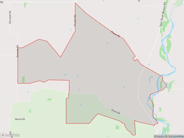
Five Roads Area (estimated)
22.0 square kilometersFive Roads Population (estimated)
38 people live in Five Roads, Otago, NZFive Roads Suburb Area Map (Polygon)
Five Roads Introduction
Five Roads is a suburb of Invercargill, New Zealand. It is located on the southern side of the city, near the Southern Institute of Technology and the Invercargill Airport. The suburb has a variety of housing types, including single-family homes, apartments, and retirement villages. It also has a number of recreational facilities, including a golf course, a bowling club, and a swimming pool.Region
Major City
Suburb Name
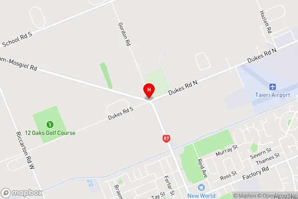
Five RoadsFive Roads Area Map (Street)
Local Authority
Southland DistrictFull Address
Five Roads, Southland District, New ZealandAddress Type
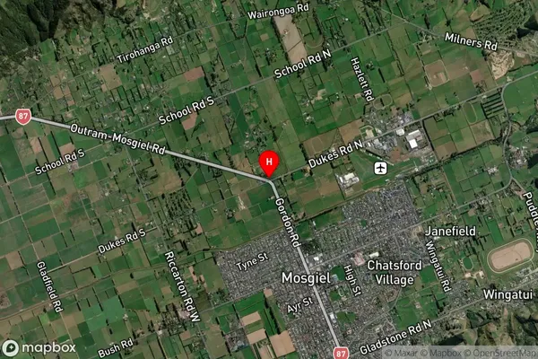
Locality in City InvercargillFive Roads Suburb Map (Satellite)
Country
Main Region in AU
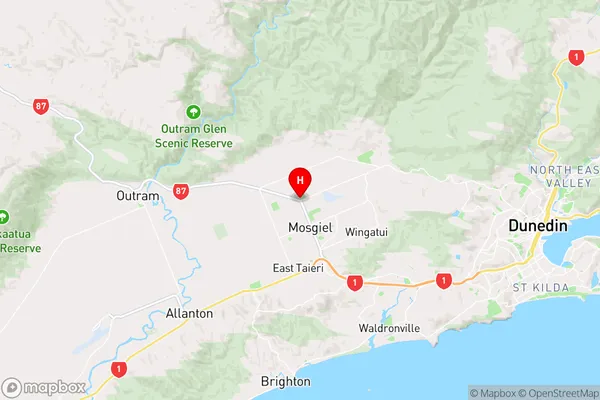
OtagoFive Roads Region Map
Coordinates
-45.8618805,170.340302 (latitude/longitude)Distances
The distance from Five Roads, Invercargill, Southland District to NZ Top 10 Cities