Ferndale Area, Ferndale Postcode(4310) & Map in Ferndale
Ferndale Area, Ferndale Postcode(4310) & Map in Ferndale, Gore District, New Zealand
Ferndale, Gore District, New Zealand
Ferndale Postcodes
Ferndale Area (estimated)
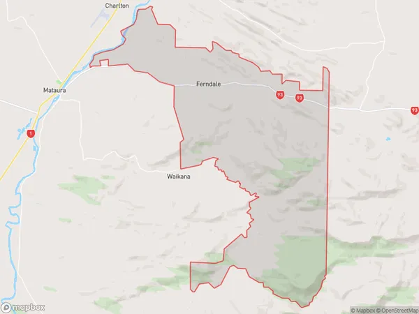
107.3 square kilometersFerndale Population (estimated)
104 people live in Ferndale, Southland, NZFerndale Suburb Area Map (Polygon)
Ferndale Introduction
Ferndale is a small rural town in Southland, New Zealand, located on the banks of the Mataura River. It is known for its historic buildings, including the Ferndale Hotel, which was built in 1887. The town has a population of around 1,000 people and is a popular stop for tourists traveling along the Southern Scenic Route.Region
Major City
Suburb Name
FerndaleOther Name(s)
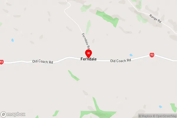
Tuturau South, WaiarikikiFerndale Area Map (Street)
Local Authority
Gore DistrictFull Address
Ferndale, Gore District, New ZealandAddress Type
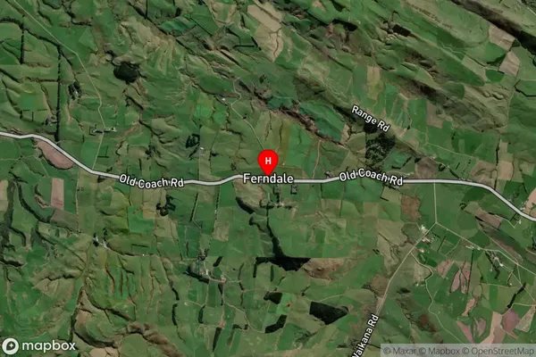
Locality in Town MatauraFerndale Suburb Map (Satellite)
Country
Main Region in AU
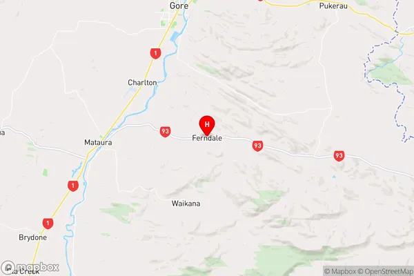
SouthlandFerndale Region Map
Coordinates
-46.1897,168.97264 (latitude/longitude)Distances
The distance from Ferndale, Mataura, Gore District to NZ Top 10 Cities