Appleby Area, Appleby Postcode(7020) & Map in Appleby
Appleby Area, Appleby Postcode(7020) & Map in Appleby, Tasman District, New Zealand
Appleby, Tasman District, New Zealand
Appleby Postcodes
Appleby Area (estimated)
27.8 square kilometersAppleby Population (estimated)
1160 people live in Appleby, Tasman, NZAppleby Suburb Area Map (Polygon)
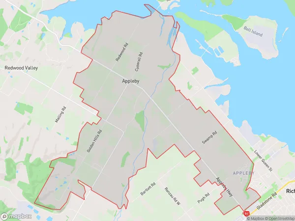
Appleby Introduction
Appleby is a small rural township in Richmond, Tasman District, New Zealand. It is located on State Highway 6, approximately 15 km south of Richmond and 120 km north of Nelson. The area was first settled in the 1840s by European settlers, and the township was established in the 1870s. Appleby is known for its scenic rural surroundings, with rolling hills, farmland, and picturesque rivers. The town has a primary school, a post office, a general store, and a community hall. The surrounding area is popular for outdoor activities such as hiking, fishing, and hunting.Region
Major City
Suburb Name
ApplebyOther Name(s)
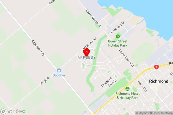
Pea Viner CornerAppleby Area Map (Street)
Local Authority
Tasman DistrictFull Address
Appleby, Tasman District, New ZealandAddress Type
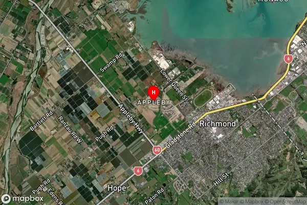
Locality in Town RichmondAppleby Suburb Map (Satellite)
Country
Main Region in AU
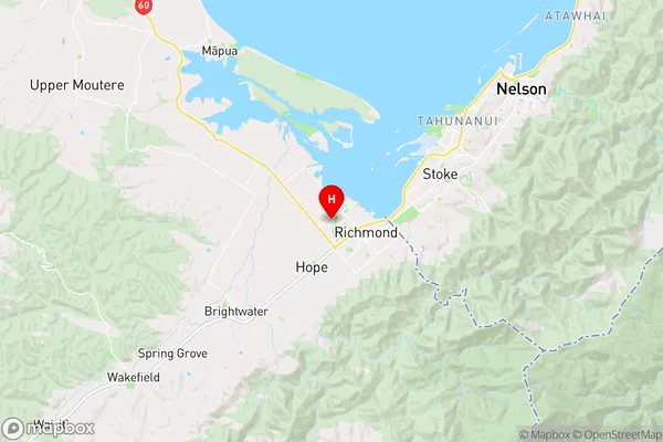
TasmanAppleby Region Map
Coordinates
-41.3327751,173.1657324 (latitude/longitude)Distances
The distance from Appleby, Richmond, Tasman District to NZ Top 10 Cities