Dunsdale Area, Dunsdale Postcode & Map in Dunsdale
Dunsdale Area, Dunsdale Postcode & Map in Dunsdale, Southland District, New Zealand
Dunsdale, Southland District, New Zealand
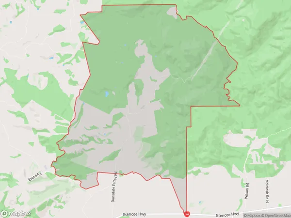
Dunsdale Area (estimated)
34.1 square kilometersDunsdale Population (estimated)
18 people live in Dunsdale, Oreti Community, NZDunsdale Suburb Area Map (Polygon)
Dunsdale Introduction
Dunsdale is a small rural community in Southland, New Zealand, located on the banks of the Mataura River. It is known for its scenic countryside, friendly locals, and traditional Maori culture. The area has a variety of outdoor activities to enjoy, including hiking, fishing, and hunting. Dunsdale also has a primary school, a post office, and a small supermarket.Region
Major City
Suburb Name
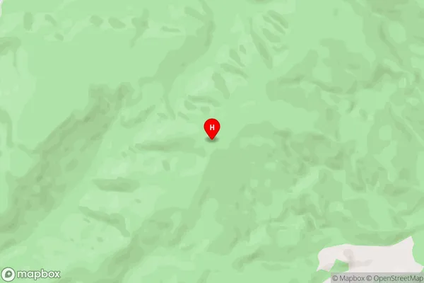
DunsdaleDunsdale Area Map (Street)
Local Authority
Southland DistrictFull Address
Dunsdale, Southland District, New ZealandAddress Type
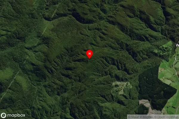
Locality in City InvercargillDunsdale Suburb Map (Satellite)
Country
Main Region in AU
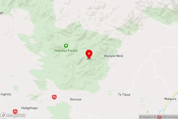
SouthlandDunsdale Region Map
Coordinates
-46.12987,168.67616 (latitude/longitude)Distances
The distance from Dunsdale, Invercargill, Southland District to NZ Top 10 Cities