Ruakaka Area, Ruakaka Postcode(0116) & Map in Ruakaka
Ruakaka Area, Ruakaka Postcode(0116) & Map in Ruakaka, Whangarei District, New Zealand
Ruakaka, Whangarei District, New Zealand
Ruakaka Area (estimated)
67.8 square kilometersRuakaka Population (estimated)
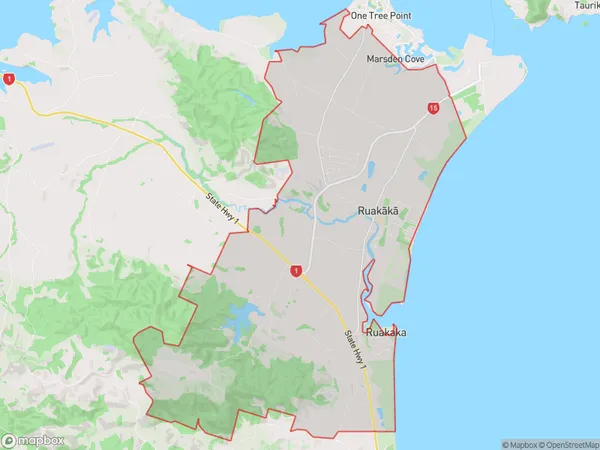
3764 people live in Ruakaka, Northland, NZRuakaka Suburb Area Map (Polygon)
Ruakaka Introduction
Ruakaka is a small town in Northland, New Zealand, known for its beautiful beaches, lush gardens, and vibrant art community. It is situated on the banks of the Mahoe Creek and is a popular destination for tourists and locals alike. The town has a rich history and is home to several historic buildings, including the Ruakaka War Memorial Hall and the Ruakaka Museum. It is also home to a variety of shops, cafes, and restaurants, making it a great place to spend a day or weekend.Region
Major City
Suburb Name
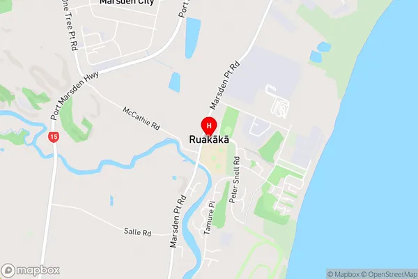
Ruakaka (Maori Name: Ruakākā)Ruakaka Area Map (Street)
Local Authority
Whangarei DistrictFull Address
Ruakaka, Whangarei District, New ZealandAddress Type
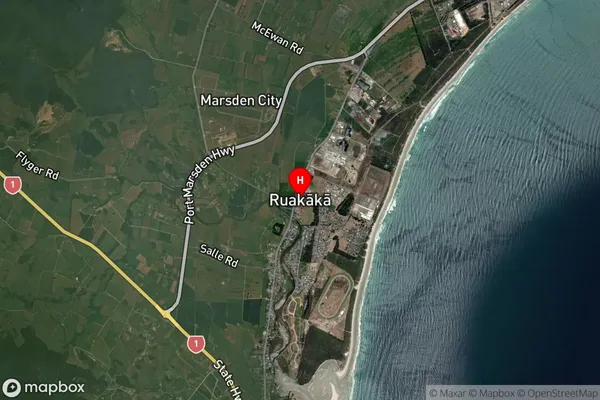
Suburb in Town RuakakaRuakaka Suburb Map (Satellite)
Country
Main Region in AU
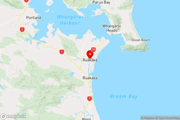
NorthlandRuakaka Region Map
Coordinates
-35.8754355,174.4557066 (latitude/longitude)Distances
The distance from Ruakaka, Ruakaka, Whangarei District to NZ Top 10 Cities