Oakleigh Area, Oakleigh Postcode(0178) & Map in Oakleigh
Oakleigh Area, Oakleigh Postcode(0178) & Map in Oakleigh, Whangarei District, New Zealand
Oakleigh, Whangarei District, New Zealand
Oakleigh Postcodes
Oakleigh Area (estimated)
10.7 square kilometersOakleigh Population (estimated)
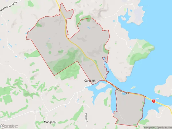
143 people live in Oakleigh, Northland, NZOakleigh Suburb Area Map (Polygon)
Oakleigh Introduction
Oakleigh is a suburb of Whangarei, Northland, New Zealand. It is located 12 km south of the city center and has a population of around 5,000 people. The suburb was established in the 1920s and is named after a tree found in the area. It is known for its historic homes and gardens and has a popular golf course.Region
Major City
Suburb Name
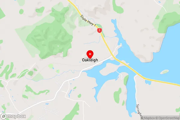
OakleighOakleigh Area Map (Street)
Local Authority
Whangarei DistrictFull Address
Oakleigh, Whangarei District, New ZealandAddress Type
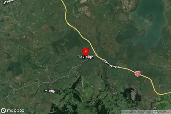
Suburb in City WhangareiOakleigh Suburb Map (Satellite)
Country
Main Region in AU
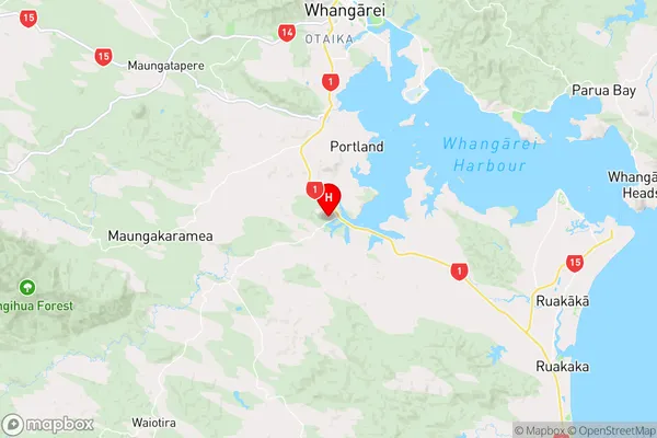
NorthlandOakleigh Region Map
Coordinates
-35.8337533,174.3089349 (latitude/longitude)Distances
The distance from Oakleigh, Whangarei, Whangarei District to NZ Top 10 Cities