Port Whangarei Area, Port Whangarei Postcode(0110) & Map in Port Whangarei
Port Whangarei Area, Port Whangarei Postcode(0110) & Map in Port Whangarei, Whangarei District, New Zealand
Port Whangarei, Whangarei District, New Zealand
Port Whangarei Postcodes
Port Whangarei Area (estimated)
5.2 square kilometersPort Whangarei Population (estimated)
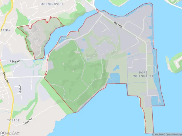
233 people live in Port Whangarei, Whangārei, NZPort Whangarei Suburb Area Map (Polygon)
Port Whangarei Introduction
Port Whangarei is the largest city in Northland, New Zealand. It is located at the northern tip of the North Island and is known for its natural beauty, including the surrounding harbor and Mount Parihaka. The city is home to a population of around 100,000 people and is a popular destination for tourists and locals alike.Region
Major City
Suburb Name
Port Whangarei (Maori Name: Port Whangārei)Other Name(s)
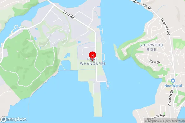
Whangarei CentralPort Whangarei Area Map (Street)
Local Authority
Whangarei DistrictFull Address
Port Whangarei, Whangarei District, New ZealandAddress Type
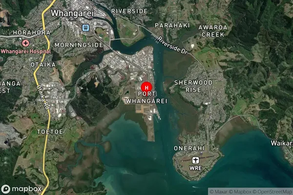
Suburb in City WhangareiPort Whangarei Suburb Map (Satellite)
Country
Main Region in AU
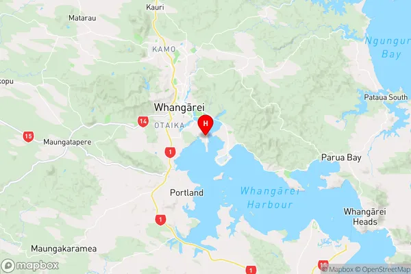
NorthlandPort Whangarei Region Map
Coordinates
-35.7516493,174.3455512 (latitude/longitude)Distances
The distance from Port Whangarei, Whangarei, Whangarei District to NZ Top 10 Cities