Onerahi Area, Onerahi Postcode(0110) & Map in Onerahi
Onerahi Area, Onerahi Postcode(0110) & Map in Onerahi, Whangarei District, New Zealand
Onerahi, Whangarei District, New Zealand
Onerahi Postcodes
Onerahi Area (estimated)
-1.2 square kilometersOnerahi Population (estimated)
6891 people live in Onerahi, Whangārei, NZOnerahi Suburb Area Map (Polygon)
Not available for nowOnerahi Introduction
Onerahi is a suburb of Whangarei in Northland, New Zealand. It is located on the eastern side of the city, near the harbor, and is known for its beautiful beaches and relaxed atmosphere. The suburb has a population of around 10,000 people and is home to a variety of shops, restaurants, and recreational facilities. Onerahi also has a popular beach called Long Beach, which is a popular spot for swimming, sunbathing, and fishing.Region
Major City
Suburb Name
OnerahiOther Name(s)
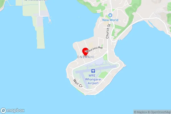
Sherwood RiseOnerahi Area Map (Street)
Local Authority
Whangarei DistrictFull Address
Onerahi, Whangarei District, New ZealandAddress Type
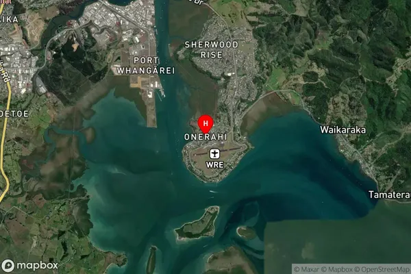
Suburb in City WhangareiOnerahi Suburb Map (Satellite)
Country
Main Region in AU
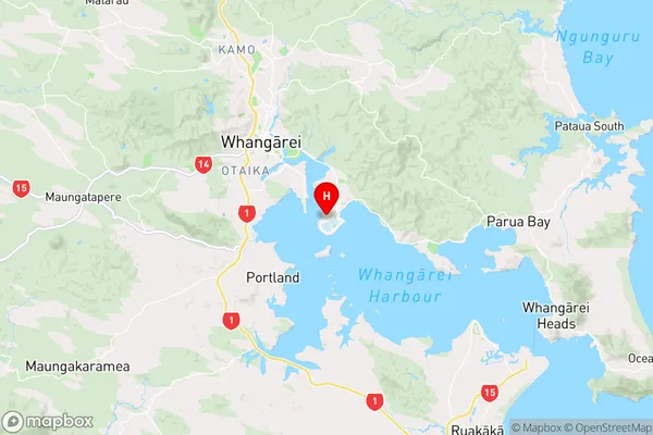
NorthlandOnerahi Region Map
Coordinates
-35.7661712,174.3605185 (latitude/longitude)Distances
The distance from Onerahi, Whangarei, Whangarei District to NZ Top 10 Cities