Parua Bay Area, Parua Bay Postcode(0174) & Map in Parua Bay
Parua Bay Area, Parua Bay Postcode(0174) & Map in Parua Bay, Whangarei District, New Zealand
Parua Bay, Whangarei District, New Zealand
Parua Bay Postcodes
Parua Bay Area (estimated)
75.2 square kilometersParua Bay Population (estimated)
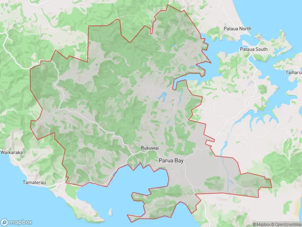
2220 people live in Parua Bay, Northland, NZParua Bay Suburb Area Map (Polygon)
Parua Bay Introduction
Parua Bay is a picturesque beach located in the Northland region of New Zealand. It is known for its golden sand, clear waters, and stunning coastal views. The bay is a popular spot for swimming, kayaking, and fishing, and it is surrounded by lush forest and picturesque countryside. The area also has a rich cultural heritage, with several historic sites and museums nearby.Region
Major City
Suburb Name
Parua BayOther Name(s)
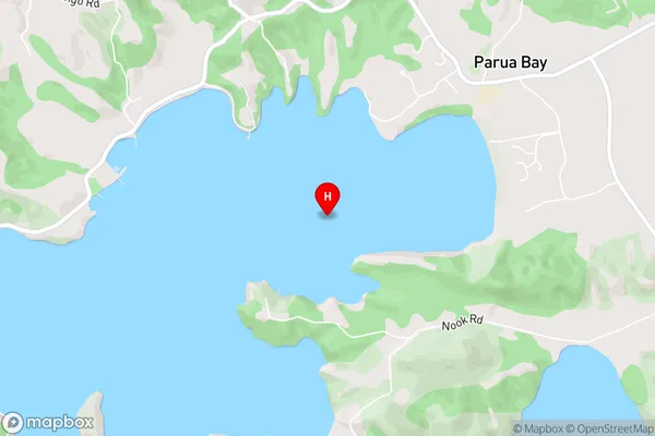
Owhiwa, Rukuwai, Taraunui, WaipareraParua Bay Area Map (Street)
Local Authority
Whangarei DistrictFull Address
Parua Bay, Whangarei District, New ZealandAddress Type
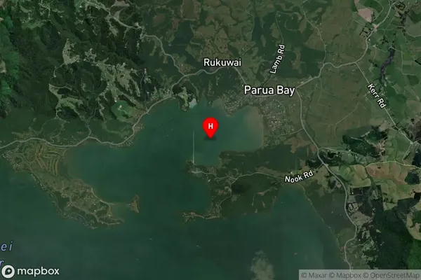
Locality in Town Parua BayParua Bay Suburb Map (Satellite)
Country
Main Region in AU
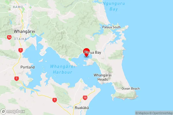
NorthlandParua Bay Region Map
Coordinates
-35.7781792,174.467036 (latitude/longitude)Distances
The distance from Parua Bay, Parua Bay, Whangarei District to NZ Top 10 Cities