Tutukaka Area, Tutukaka Postcode(0153) & Map in Tutukaka
Tutukaka Area, Tutukaka Postcode(0153) & Map in Tutukaka, Whangarei District, New Zealand
Tutukaka, Whangarei District, New Zealand
Tutukaka Postcodes
Tutukaka Area (estimated)
19.2 square kilometersTutukaka Population (estimated)
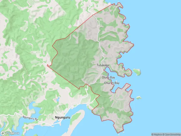
886 people live in Tutukaka, Northland, NZTutukaka Suburb Area Map (Polygon)
Tutukaka Introduction
Tutukaka is a small coastal town in Northland, New Zealand, known for its stunning natural scenery, including the Tutukaka Coast National Park and the Tawharanui Forest Park. It is also a popular destination for outdoor activities such as hiking, surfing, and fishing. The town has a population of around 5,000 people and is located about 120 kilometers north of Whangarei.Region
Major City
Suburb Name
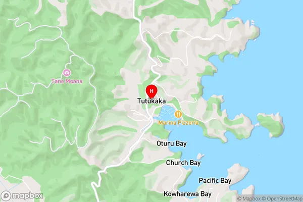
TutukakaTutukaka Area Map (Street)
Local Authority
Whangarei DistrictFull Address
Tutukaka, Whangarei District, New ZealandAddress Type
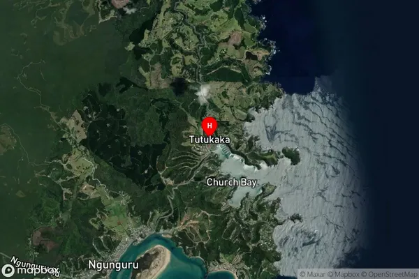
Locality in City WhangareiTutukaka Suburb Map (Satellite)
Country
Main Region in AU
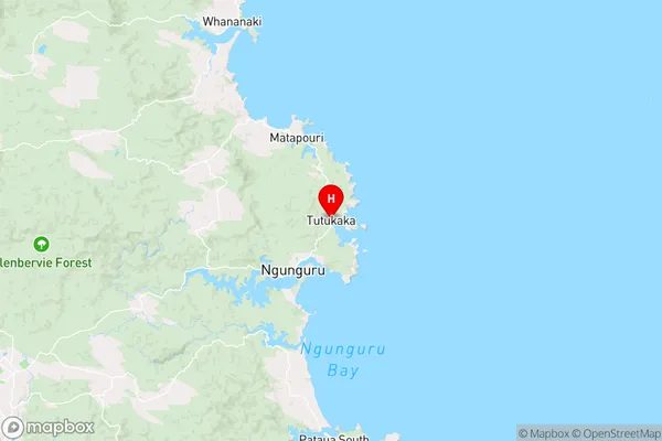
NorthlandTutukaka Region Map
Coordinates
-35.6083254,174.5244347 (latitude/longitude)Distances
The distance from Tutukaka, Whangarei, Whangarei District to NZ Top 10 Cities