Matapouri Area, Matapouri Postcode & Map in Matapouri
Matapouri Area, Matapouri Postcode & Map in Matapouri, Whangarei District, New Zealand
Matapouri, Whangarei District, New Zealand
Matapouri Area (estimated)
-1.2 square kilometersMatapouri Population (estimated)
565 people live in Matapouri, Northland, NZMatapouri Suburb Area Map (Polygon)
Not available for nowMatapouri Introduction
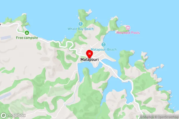
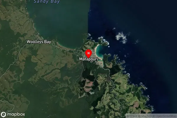
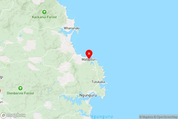
Matapouri is a small coastal settlement in Northland, New Zealand. It is known for its beautiful beaches, crystal-clear waters, and stunning natural scenery. The area is popular with tourists and has a variety of accommodation options, including hotels, resorts, and holiday homes. There are also several restaurants and cafes in the area, as well as a golf course and a marina. Matapouri is a great place to relax and enjoy the natural beauty of Northland.Region
Major City
Suburb Name
MatapouriOther Name(s)
WaipaipaiMatapouri Area Map (Street)
Local Authority
Whangarei DistrictFull Address
Matapouri, Whangarei District, New ZealandAddress Type
Locality in City WhangareiMatapouri Suburb Map (Satellite)
Country
Main Region in AU
NorthlandMatapouri Region Map
Coordinates
-35.5663974,174.5030702 (latitude/longitude)Distances
The distance from Matapouri, Whangarei, Whangarei District to NZ Top 10 Cities