Pouto Area, Pouto Postcode & Map in Pouto
Pouto Area, Pouto Postcode & Map in Pouto, Kaipara District, New Zealand
Pouto, Kaipara District, New Zealand
Pouto Area (estimated)
269.4 square kilometersPouto Population (estimated)
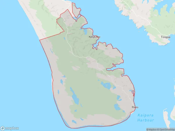
184 people live in Pouto, Northland, NZPouto Suburb Area Map (Polygon)
Pouto Introduction
Pouto, Pouto, Northland, New Zealand, is a small rural community with a population of around 100 people. It is located on the banks of the Pouto River and is known for its scenic surroundings, including lush forests and waterfalls. The community is home to a primary school, a church, and a few small businesses. The area is popular with tourists and outdoor enthusiasts, who enjoy hiking, fishing, and kayaking in the nearby rivers and forests.Region
Major City
Suburb Name
PoutoOther Name(s)
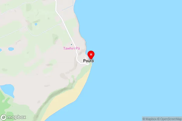
Pouto Point, Rototuna, Waikaraka LandingPouto Area Map (Street)
Local Authority
Kaipara DistrictFull Address
Pouto, Kaipara District, New ZealandAddress Type
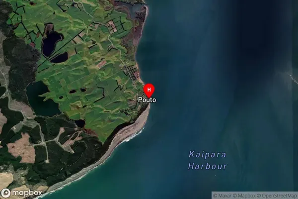
Locality in Major Locality PoutoPouto Suburb Map (Satellite)
Country
Main Region in AU
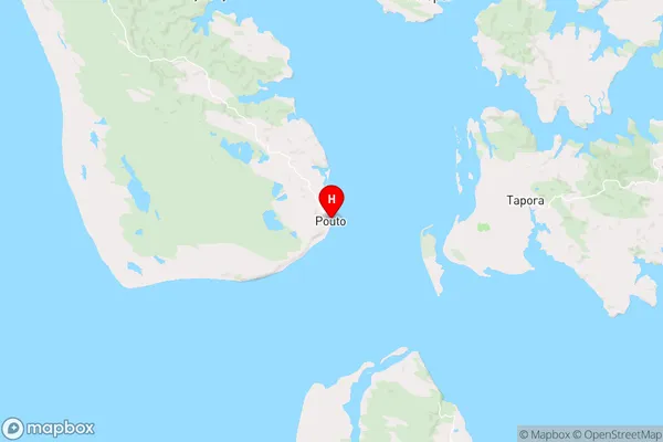
NorthlandPouto Region Map
Coordinates
-36.3627583,174.1817135 (latitude/longitude)Distances
The distance from Pouto, Pouto, Kaipara District to NZ Top 10 Cities