Dacre Area, Dacre Postcode & Map in Dacre
Dacre Area, Dacre Postcode & Map in Dacre, Southland District, New Zealand
Dacre, Southland District, New Zealand
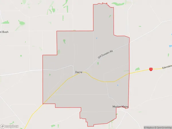
Dacre Area (estimated)
55.1 square kilometersDacre Population (estimated)
151 people live in Dacre, Waihopai Toetoe Community, NZDacre Suburb Area Map (Polygon)
Dacre Introduction
Dacre is a small rural community in Southland, New Zealand, located on the banks of the Mataura River. It is known for its picturesque scenery, including rolling hills, lush green fields, and stunning river views. The community has a population of around 100 people and is home to a primary school, a church, and a few small businesses. Dacre is a popular destination for outdoor enthusiasts, with nearby hiking trails, fishing spots, and hunting grounds. The area is also known for its rich agricultural heritage, with many farms and orchards located in the surrounding area.Region
Major City
Suburb Name
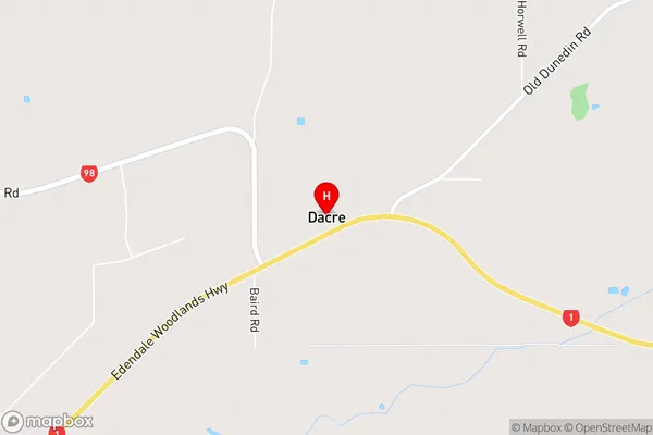
DacreDacre Area Map (Street)
Local Authority
Southland DistrictFull Address
Dacre, Southland District, New ZealandAddress Type
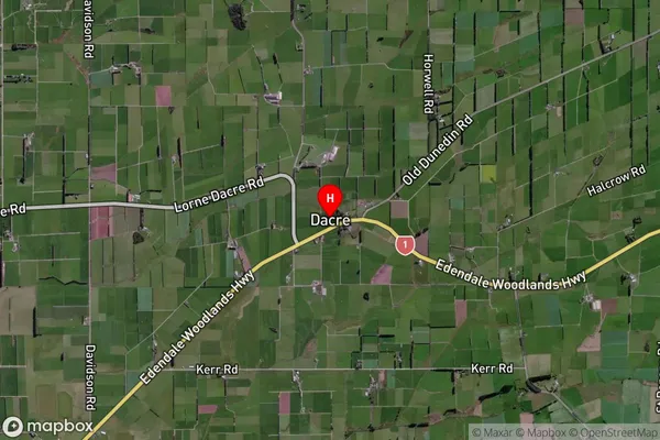
Locality in City InvercargillDacre Suburb Map (Satellite)
Country
Main Region in AU
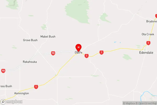
SouthlandDacre Region Map
Coordinates
-46.314438,168.6075207 (latitude/longitude)Distances
The distance from Dacre, Invercargill, Southland District to NZ Top 10 Cities