Upper Takaka Area, Upper Takaka Postcode & Map in Upper Takaka
Upper Takaka Area, Upper Takaka Postcode & Map in Upper Takaka, Tasman District, New Zealand
Upper Takaka, Tasman District, New Zealand
Upper Takaka Area (estimated)
132.9 square kilometersUpper Takaka Population (estimated)
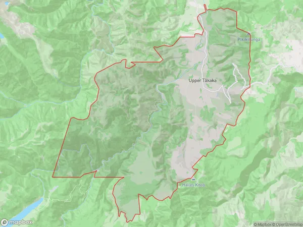
101 people live in Upper Takaka, Tasman, NZUpper Takaka Suburb Area Map (Polygon)
Upper Takaka Introduction
Upper Takaka is a small rural community located in the Golden Bay region of Tasman District, New Zealand. It is situated at the top of the Takaka Hill, overlooking the Takaka Valley and the surrounding mountains. The area is known for its scenic beauty, with lush green forests, waterfalls, and a variety of wildlife. Upper Takaka is a popular destination for outdoor enthusiasts, with numerous hiking and biking trails, as well as fishing and hunting opportunities. The community has a small population of around 500 people, with a mix of permanent residents and tourists.Region
Major City
Suburb Name
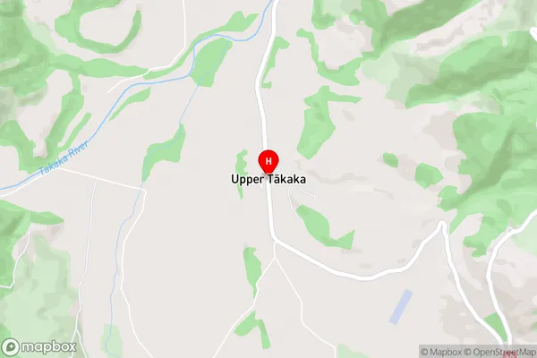
Upper Takaka (Maori Name: Upper Tākaka)Upper Takaka Area Map (Street)
Local Authority
Tasman DistrictFull Address
Upper Takaka, Tasman District, New ZealandAddress Type
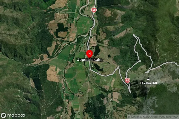
Locality in Town TakakaUpper Takaka Suburb Map (Satellite)
Country
Main Region in AU
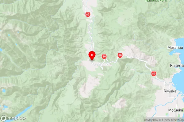
TasmanUpper Takaka Region Map
Coordinates
-41.0291387,172.8222931 (latitude/longitude)Distances
The distance from Upper Takaka, Takaka, Tasman District to NZ Top 10 Cities