Homewood Area, Homewood Postcode(6012) & Map in Homewood
Homewood Area, Homewood Postcode(6012) & Map in Homewood, Masterton District, New Zealand
Homewood, Masterton District, New Zealand
Homewood Area (estimated)
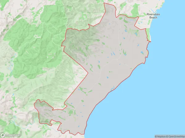
75.3 square kilometersHomewood Population (estimated)
14 people live in Homewood, Wellington, NZHomewood Suburb Area Map (Polygon)
Homewood Introduction
Homewood is a suburb of Masterton, Wellington, New Zealand. It is located on the southern side of the city, near the intersection of State Highway 2 and the Rimutaka Range. The suburb has a population of around 5,000 people and is known for its peaceful atmosphere, scenic views, and well-maintained homes. It is also home to a variety of recreational facilities, including a golf course, a sports park, and a community center.Region
Major City
Suburb Name
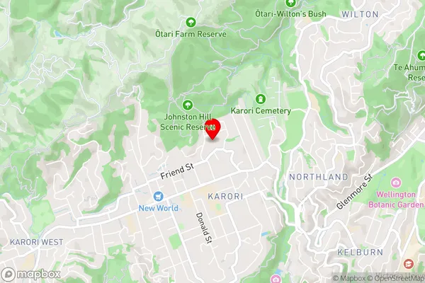
HomewoodHomewood Area Map (Street)
Local Authority
Masterton DistrictFull Address
Homewood, Masterton District, New ZealandAddress Type
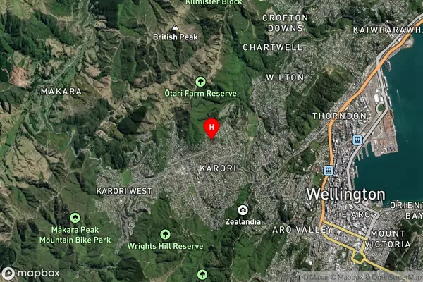
Locality in Town MastertonHomewood Suburb Map (Satellite)
Country
Main Region in AU
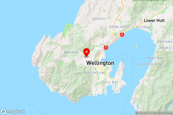
WellingtonHomewood Region Map
Coordinates
-41.27909675,174.744520166423 (latitude/longitude)Distances
The distance from Homewood, Masterton, Masterton District to NZ Top 10 Cities