Roseneath Area, Roseneath Postcode(6140) & Map in Roseneath
Roseneath Area, Roseneath Postcode(6140) & Map in Roseneath, Wellington City, New Zealand
Roseneath, Wellington City, New Zealand
Roseneath Area (estimated)
0.6 square kilometersRoseneath Population (estimated)
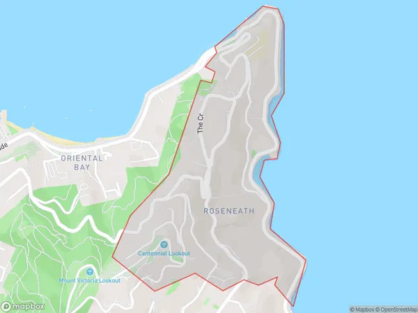
1748 people live in Roseneath, Wellington, NZRoseneath Suburb Area Map (Polygon)
Roseneath Introduction
Roseneath is a suburb of Wellington, New Zealand, located on the southern shore of the Wellington Harbour. It is known for its historic homes, picturesque streets, and vibrant community. The suburb is home to a variety of shops, restaurants, and cultural institutions, including the Roseneath Library and the Roseneath Museum. It is also well-connected to the city center by public transportation, making it an attractive place to live for both professionals and families.Region
Major City
Suburb Name
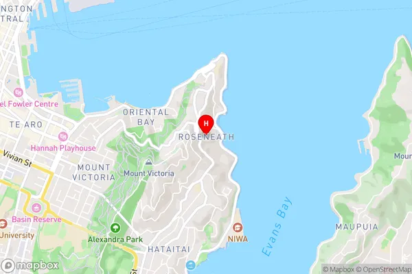
RoseneathRoseneath Area Map (Street)
Local Authority
Wellington CityFull Address
Roseneath, Wellington City, New ZealandAddress Type
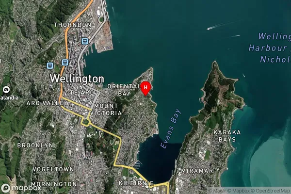
Suburb in City WellingtonRoseneath Suburb Map (Satellite)
Country
Main Region in AU
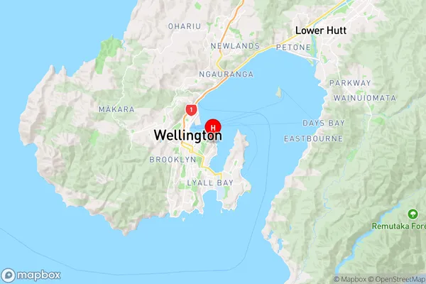
WellingtonRoseneath Region Map
Coordinates
-41.2936973,174.8014593 (latitude/longitude)Distances
The distance from Roseneath, Wellington, Wellington City to NZ Top 10 Cities