Marahau Area, Marahau Postcode(7197) & Map in Marahau
Marahau Area, Marahau Postcode(7197) & Map in Marahau, Tasman District, New Zealand
Marahau, Tasman District, New Zealand
Marahau Postcodes
Marahau Area (estimated)
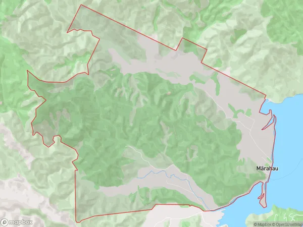
22.5 square kilometersMarahau Population (estimated)
208 people live in Marahau, Tasman, NZMarahau Suburb Area Map (Polygon)
Marahau Introduction
Marahau is a small rural community in the Tasman District of New Zealand's South Island. It is located on the banks of the Marahau River, approximately 30 kilometers northwest of Motueka. The area is known for its scenic beauty, with rolling hills, lush forests, and picturesque farmland. Marahau has a population of around 100 people and is a popular destination for outdoor enthusiasts, with numerous hiking and cycling trails in the surrounding area. The community also has a historic church, a post office, and a general store.Region
Major City
Suburb Name
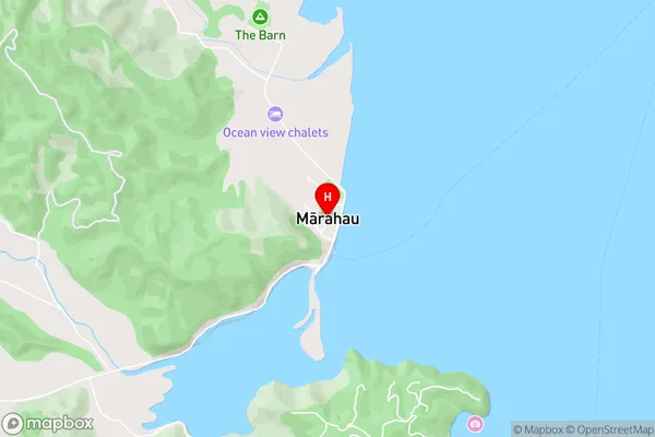
Marahau (Maori Name: Mārahau)Marahau Area Map (Street)
Local Authority
Tasman DistrictFull Address
Marahau, Tasman District, New ZealandAddress Type
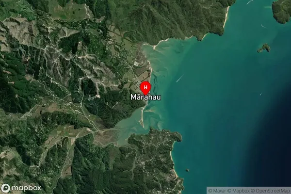
Locality in Town MotuekaMarahau Suburb Map (Satellite)
Country
Main Region in AU
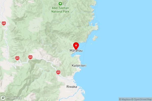
TasmanMarahau Region Map
Coordinates
-41.0061336,173.0086156 (latitude/longitude)Distances
The distance from Marahau, Motueka, Tasman District to NZ Top 10 Cities