Clifton Area, Clifton Postcode(7183) & Map in Clifton
Clifton Area, Clifton Postcode(7183) & Map in Clifton, Tasman District, New Zealand
Clifton, Tasman District, New Zealand
Clifton Postcodes
Clifton Area (estimated)
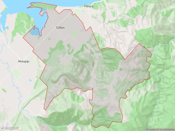
18.9 square kilometersClifton Population (estimated)
257 people live in Clifton, Tasman, NZClifton Suburb Area Map (Polygon)
Clifton Introduction
Clifton is a small rural community in the Takaka District of the Tasman Region of New Zealand. It is located on the banks of the Takaka River, approximately 25 km south of Takaka Village and 120 km north of Nelson. The area is known for its scenic beauty, including the Takaka Hill and the surrounding mountains. Clifton has a population of around 100 people and is a popular destination for outdoor enthusiasts, with numerous hiking and biking trails in the area. The community also has a small school, a post office, and a general store.Region
Major City
Suburb Name
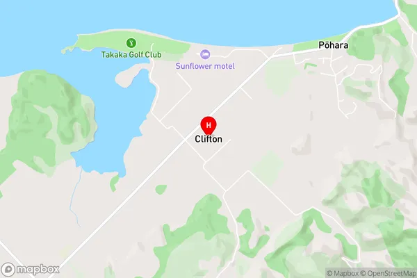
CliftonClifton Area Map (Street)
Local Authority
Tasman DistrictFull Address
Clifton, Tasman District, New ZealandAddress Type
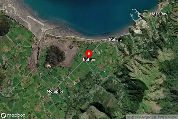
Locality in Town TakakaClifton Suburb Map (Satellite)
Country
Main Region in AU
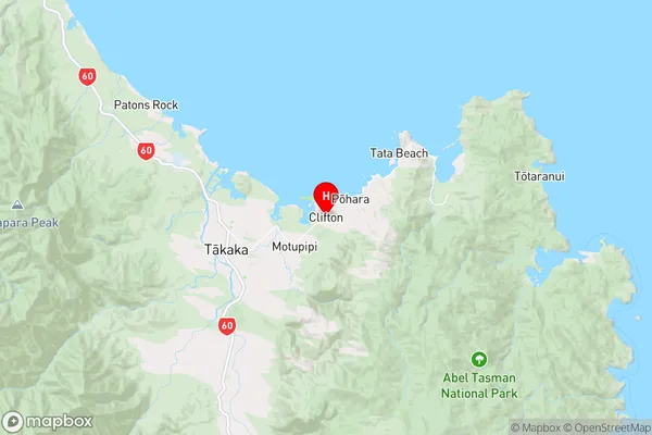
TasmanClifton Region Map
Coordinates
-40.8421574,172.8692927 (latitude/longitude)Distances
The distance from Clifton, Takaka, Tasman District to NZ Top 10 Cities