Takaka Area, Takaka Postcode(7110) & Map in Takaka
Takaka Area, Takaka Postcode(7110) & Map in Takaka, Tasman District, New Zealand
Takaka, Tasman District, New Zealand
Takaka Area (estimated)
100.4 square kilometersTakaka Population (estimated)
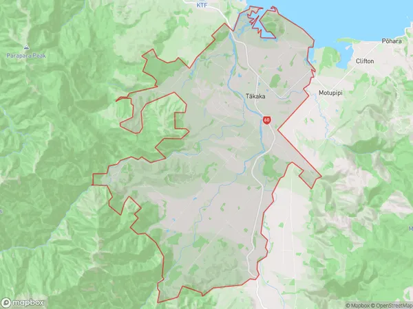
2057 people live in Takaka, Tasman, NZTakaka Suburb Area Map (Polygon)
Takaka Introduction
Takaka is a small town in the Golden Bay region of New Zealand's South Island. It is well-known for its scenic beauty, including the Takaka Hill, which offers panoramic views of the surrounding area. The town is also home to the Takaka Chocolate Factory, which produces handmade chocolate using local ingredients. Takaka is a popular destination for outdoor enthusiasts, with numerous hiking and biking trails in the nearby forests and mountains.Region
Major City
Suburb Name
Takaka (Maori Name: Tākaka)Other Name(s)
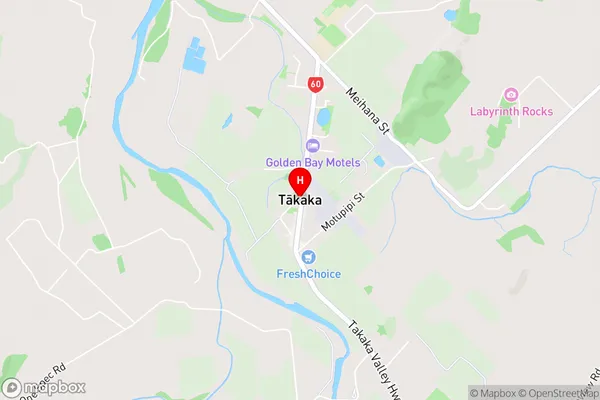
Hamama, Kotinga, WaitapuTakaka Area Map (Street)
Local Authority
Tasman DistrictFull Address
Takaka, Tasman District, New ZealandAddress Type
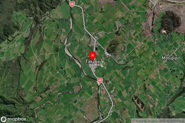
Suburb in Town TakakaTakaka Suburb Map (Satellite)
Country
Main Region in AU
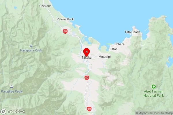
TasmanTakaka Region Map
Coordinates
-40.8574983,172.8062424 (latitude/longitude)Distances
The distance from Takaka, Takaka, Tasman District to NZ Top 10 Cities