Rangihaeata Area, Rangihaeata Postcode & Map in Rangihaeata
Rangihaeata Area, Rangihaeata Postcode & Map in Rangihaeata, Tasman District, New Zealand
Rangihaeata, Tasman District, New Zealand
Rangihaeata Area (estimated)
5.2 square kilometersRangihaeata Population (estimated)
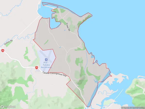
198 people live in Rangihaeata, Tasman, NZRangihaeata Suburb Area Map (Polygon)
Rangihaeata Introduction
Rangihaeata is a small rural community located in the Takaka District of the Tasman region of New Zealand. It is situated on the banks of the Rangihaeata River, approximately 15 kilometers south of Takaka and 120 kilometers north of Nelson. The community has a population of around 100 people and is known for its scenic surroundings, including the Rangihaeata Forest and the surrounding hills. Rangihaeata is a popular destination for outdoor enthusiasts, with many opportunities for hiking, fishing, and hunting. The community also has a primary school and a small supermarket.Region
Major City
Suburb Name
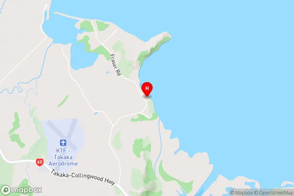
RangihaeataRangihaeata Area Map (Street)
Local Authority
Tasman DistrictFull Address
Rangihaeata, Tasman District, New ZealandAddress Type
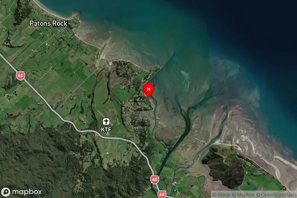
Locality in Town TakakaRangihaeata Suburb Map (Satellite)
Country
Main Region in AU
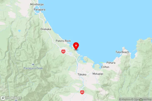
TasmanRangihaeata Region Map
Coordinates
-40.8081973,172.7901686 (latitude/longitude)Distances
The distance from Rangihaeata, Takaka, Tasman District to NZ Top 10 Cities