Puramahoi Area, Puramahoi Postcode & Map in Puramahoi
Puramahoi Area, Puramahoi Postcode & Map in Puramahoi, Tasman District, New Zealand
Puramahoi, Tasman District, New Zealand
Puramahoi Area (estimated)
29.6 square kilometersPuramahoi Population (estimated)
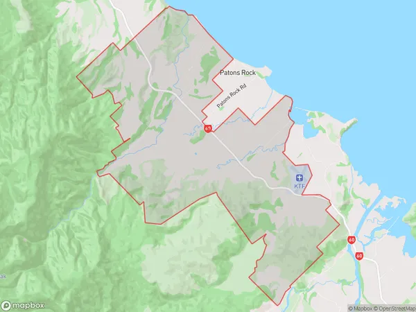
154 people live in Puramahoi, Tasman, NZPuramahoi Suburb Area Map (Polygon)
Puramahoi Introduction
Puramahoi is a small rural community in the Takaka District of the Nelson Region of New Zealand. It is located on State Highway 6, approximately 25 kilometers south of Takaka and 120 kilometers north of Nelson. The community is surrounded by picturesque farmland and the Takaka Hill Range, and is known for its scenic views and peaceful atmosphere. The population of Puramahoi is approximately 100 people, with a mix of farming and forestry-related occupations. The community has a primary school, a post office, and a small supermarket.Region
Major City
Suburb Name
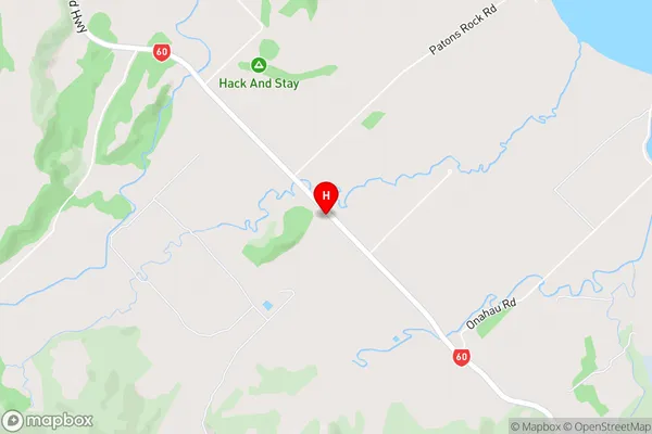
Puramahoi (Maori Name: Puramāhoi)Puramahoi Area Map (Street)
Local Authority
Tasman DistrictFull Address
Puramahoi, Tasman District, New ZealandAddress Type
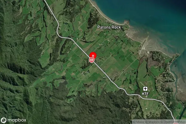
Locality in Town TakakaPuramahoi Suburb Map (Satellite)
Country
Main Region in AU
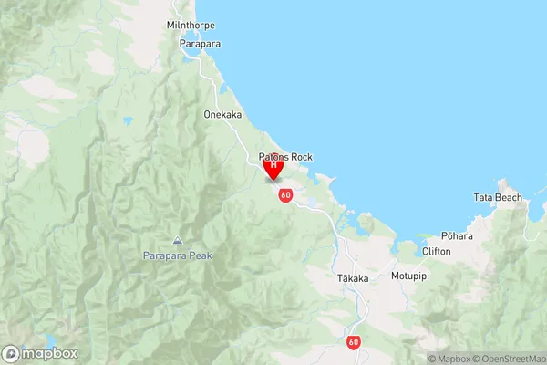
TasmanPuramahoi Region Map
Coordinates
-40.802912,172.7465052 (latitude/longitude)Distances
The distance from Puramahoi, Takaka, Tasman District to NZ Top 10 Cities