Jackson Bay Area, Jackson Bay Postcode & Map in Jackson Bay, Southland District
Jackson Bay Area, Jackson Bay Postcode & Map in Jackson Bay, Southland District, Westland District, New Zealand
Jackson Bay, Southland District, Westland District, New Zealand
Jackson Bay Area (estimated)
1698.2 square kilometersJackson Bay Population (estimated)
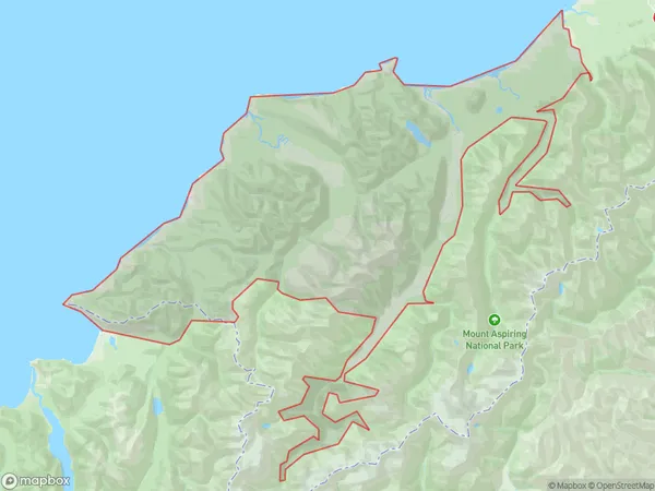
104 people live in Jackson Bay, West Coast, NZJackson Bay Suburb Area Map (Polygon)
Jackson Bay Introduction
Jackson Bay is a small, peaceful bay on the West Coast of New Zealand's South Island. It is surrounded by stunning natural scenery, including mountains, forests, and waterfalls. The bay is popular with tourists and locals for its fishing, kayaking, and hiking opportunities. There are also several small settlements located around the bay, including Haast and Fox Glacier.Region
Major City
Suburb Name
Jackson BayOther Name(s)
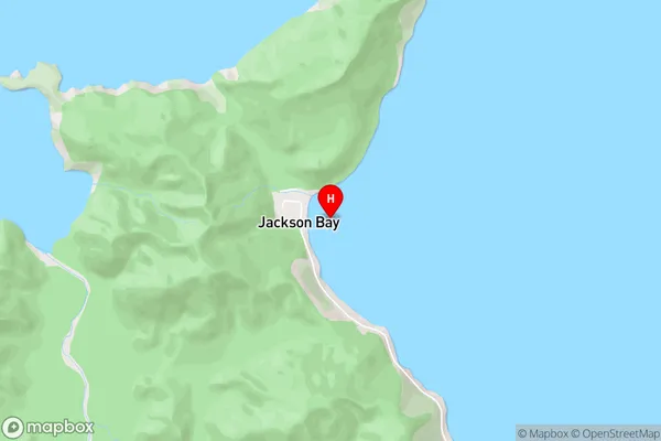
Arawhata, Hannahs Clearing, Neils Beach, Okuru, WaiatotoJackson Bay Area Map (Street)
Local Authority
Southland District, Westland DistrictFull Address
Jackson Bay, Southland District, Westland District, New ZealandAddress Type
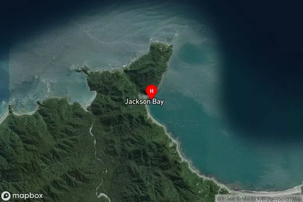
Locality in Major Locality HaastJackson Bay Suburb Map (Satellite)
Country
Main Region in AU
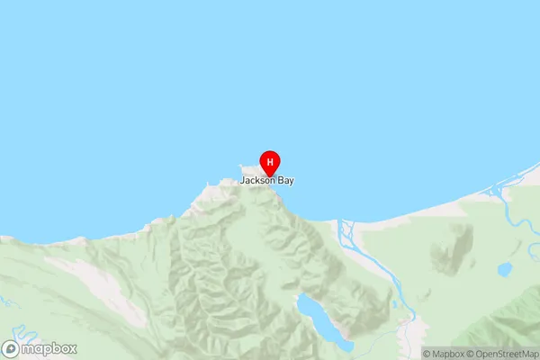
West CoastJackson Bay Region Map
Coordinates
-43.9732,168.6161 (latitude/longitude)Distances
The distance from Jackson Bay, Haast, Southland District, Westland District to NZ Top 10 Cities