Ahuriri Flat Area, Ahuriri Flat Postcode(9271) & Map in Ahuriri Flat
Ahuriri Flat Area, Ahuriri Flat Postcode(9271) & Map in Ahuriri Flat, Clutha District, New Zealand
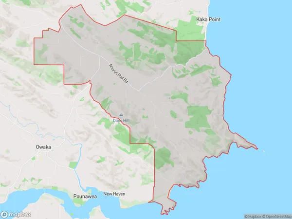
Ahuriri Flat, Clutha District, New Zealand
Ahuriri Flat Postcodes
Ahuriri Flat Area (estimated)
75.5 square kilometersAhuriri Flat Population (estimated)
100 people live in Ahuriri Flat, Otago, NZAhuriri Flat Suburb Area Map (Polygon)
Ahuriri Flat Introduction
'Ahuriri Flat is a historic farmstead located at Kaka Point, Otago, New Zealand. It was built in the 1860s and is considered one of the best-preserved examples of a nineteenth-century farm complex in New Zealand. The farmstead includes a dwelling house, stable, cart shed, and various outbuildings. The property is managed by the Historic Places Trust and is open to the public for tours and research. The farmstead is significant historically as it demonstrates the development of farming practices and technology in the Otago region during the nineteenth century.'Region
Major City
Suburb Name
Ahuriri FlatOther Name(s)
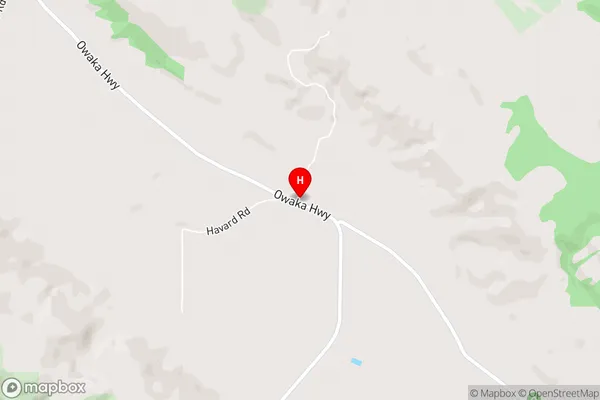
Glenomaru, Hays Gap, Otekura, TirohangaAhuriri Flat Area Map (Street)
Local Authority
Clutha DistrictFull Address
Ahuriri Flat, Clutha District, New ZealandAddress Type
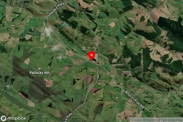
Locality in Major Locality Kaka PointAhuriri Flat Suburb Map (Satellite)
Country
Main Region in AU
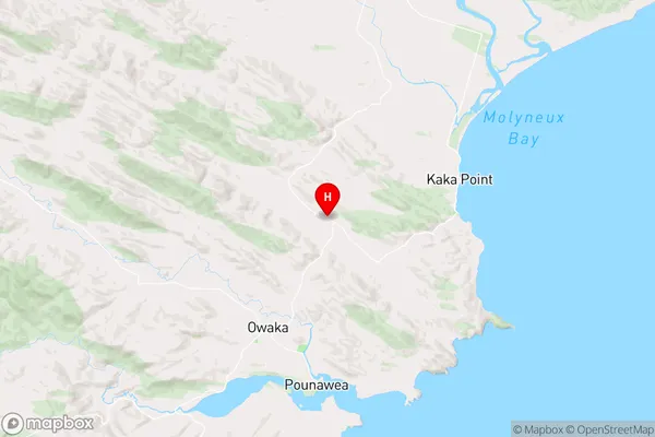
OtagoAhuriri Flat Region Map
Coordinates
-46.4012005,169.7001028 (latitude/longitude)Distances
The distance from Ahuriri Flat, Kaka Point, Clutha District to NZ Top 10 Cities