Hillgrove Area, Hillgrove Postcode(9482) & Map in Hillgrove
Hillgrove Area, Hillgrove Postcode(9482) & Map in Hillgrove, Waitaki District, New Zealand
Hillgrove, Waitaki District, New Zealand
Hillgrove Area (estimated)
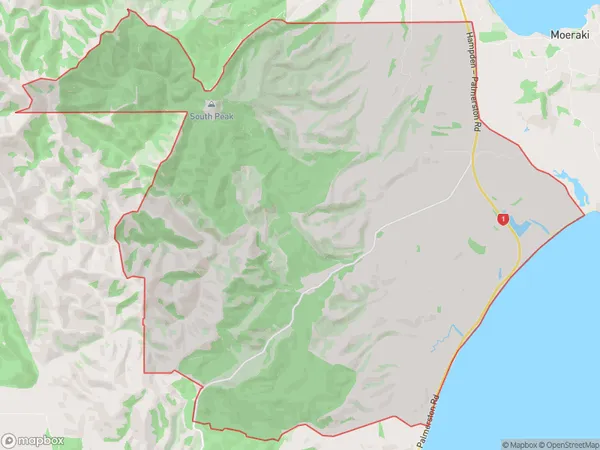
62.6 square kilometersHillgrove Population (estimated)
30 people live in Hillgrove, Otago, NZHillgrove Suburb Area Map (Polygon)
Hillgrove Introduction
Hillgrove is a small rural community in Moeraki, Otago, New Zealand. It is known for its picturesque stone cottages, stunning coastal views, and peaceful atmosphere. The area is popular with tourists and has a variety of recreational activities, including hiking, fishing, and birdwatching. The community also has a small school, a post office, and a convenience store.Region
Major City
Suburb Name
HillgroveOther Name(s)
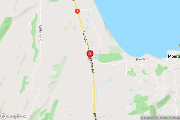
Katiki, Trotters GorgeHillgrove Area Map (Street)
Local Authority
Waitaki DistrictFull Address
Hillgrove, Waitaki District, New ZealandAddress Type
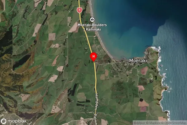
Locality in Major Locality MoerakiHillgrove Suburb Map (Satellite)
Country
Main Region in AU
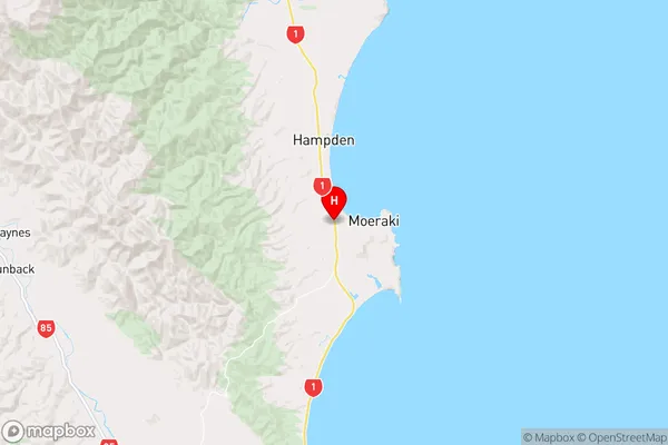
OtagoHillgrove Region Map
Coordinates
-45.3617346,170.826931 (latitude/longitude)Distances
The distance from Hillgrove, Moeraki, Waitaki District to NZ Top 10 Cities