Ramsay Area, Ramsay Postcode & Map in Ramsay
Ramsay Area, Ramsay Postcode & Map in Ramsay, Ashburton District,
Ramsay, Ashburton District,
Ramsay Area (estimated)
1070.1 square kilometersRamsay Population (estimated)
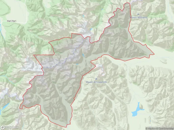
8 people live in Ramsay, Ashburton, NZRamsay Suburb Area Map (Polygon)
Ramsay Introduction
Ramsay, Mount Somers, Canterbury, New Zealand, is a small rural town located in the Canterbury Plains, 12 kilometers south of Mount Somers. It was established in 1865 and named after the Scottish settler John Ramsay. The town has a population of around 300 people and is known for its scenic surroundings, including the Mount Somers Volcanic Reserve. The area is popular for farming and tourism, with visitors coming to explore the volcanic landscape and enjoy the local hospitality.Region
Major City
Suburb Name
RamsayRamsay Area Map (Street)
Local Authority
Ashburton DistrictFull Address
Ramsay, Ashburton District,Address Type
Locality in Major Locality Mount SomersRamsay Suburb Map (Satellite)
Country
Main Region in AU
CanterburyRamsay Region Map
Coordinates
0,0 (latitude/longitude)Distances
The distance from Ramsay, Mount Somers, Ashburton District to NZ Top 10 Cities