Paringa Area, Paringa Postcode(7886) & Map in Paringa
Paringa Area, Paringa Postcode(7886) & Map in Paringa, Westland District, New Zealand
Paringa, Westland District, New Zealand
Paringa Postcodes
Paringa Area (estimated)
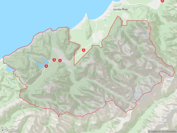
1016.4 square kilometersParinga Population (estimated)
29 people live in Paringa, West Coast, NZParinga Suburb Area Map (Polygon)
Paringa Introduction
Paringa is a small settlement on the West Coast of New Zealand's South Island. It is located in the Haast District and is known for its stunning natural surroundings, including the Paringa River and the Haast Forest. The area is popular with tourists and outdoor enthusiasts for hiking, fishing, and kayaking. Paringa also has a small community with a school, a post office, and a few shops.Region
Major City
Suburb Name
ParingaOther Name(s)
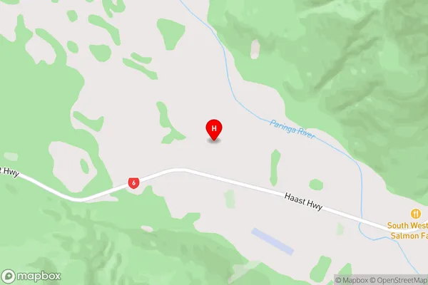
Huxley Gorge, Lake Paringa, Mahitahi, Mount Cook National ParkParinga Area Map (Street)
Local Authority
Westland DistrictFull Address
Paringa, Westland District, New ZealandAddress Type
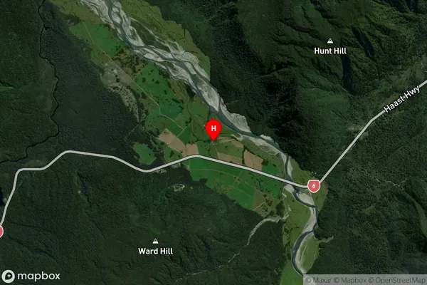
Locality in Major Locality HaastParinga Suburb Map (Satellite)
Country
Main Region in AU
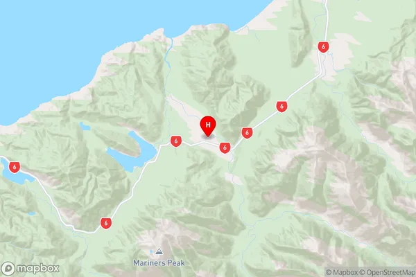
West CoastParinga Region Map
Coordinates
-43.704499,169.472766 (latitude/longitude)Distances
The distance from Paringa, Haast, Westland District to NZ Top 10 Cities