Ohau Area, Ohau Postcode(5570) & Map in Ohau
Ohau Area, Ohau Postcode(5570) & Map in Ohau, Horowhenua District, New Zealand
Ohau, Horowhenua District, New Zealand
Ohau Postcodes
Ohau Area (estimated)
29.4 square kilometersOhau Population (estimated)
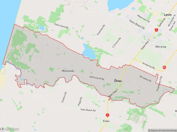
1124 people live in Ohau, Manawatu-Wanganui, NZOhau Suburb Area Map (Polygon)
Ohau Introduction
Ohau is a small town located in the Manawatu-Wanganui region of New Zealand. It is situated on the banks of the Ohau River and is known for its scenic beauty, outdoor activities, and friendly community. The town has a population of around 1,000 people and is surrounded by stunning countryside, including the Ohau Range and the Tararua Forest Park. Ohau is a popular destination for hiking, mountain biking, and fishing, and has a number of cafes and restaurants to cater to visitors.Region
Major City
Suburb Name
Ohau (Maori Name: Ōhau)Other Name(s)
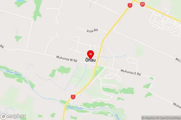
Hokio, MuhunoaOhau Area Map (Street)
Local Authority
Horowhenua DistrictFull Address
Ohau, Horowhenua District, New ZealandAddress Type
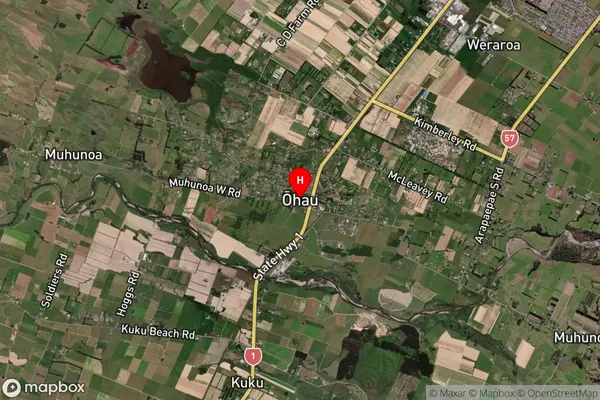
Locality in Major Locality OhauOhau Suburb Map (Satellite)
Country
Main Region in AU
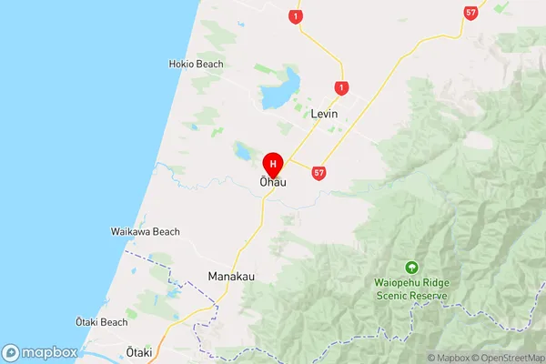
Manawatu-WanganuiOhau Region Map
Coordinates
-40.660964,175.2479784 (latitude/longitude)Distances
The distance from Ohau, Ohau, Horowhenua District to NZ Top 10 Cities