West Plains Area, West Plains Postcode(9816) & Map in West Plains
West Plains Area, West Plains Postcode(9816) & Map in West Plains, Invercargill City, New Zealand
West Plains, Invercargill City, New Zealand
West Plains Postcodes
West Plains Area (estimated)
34.7 square kilometersWest Plains Population (estimated)
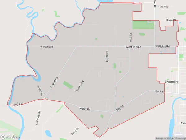
662 people live in West Plains, Invercargill City, NZWest Plains Suburb Area Map (Polygon)
West Plains Introduction
West Plains is a small rural community located in Invercargill, Southland, New Zealand. It is known for its picturesque countryside, friendly locals, and outdoor activities such as hiking, cycling, and fishing. The area is also home to a variety of wildlife, including kea, tui, and kiwi. West Plains has a primary school, a post office, and a small supermarket. The community is surrounded by stunning natural landscapes, including the Southern Alps and the Rakaia River.Region
Major City
Suburb Name
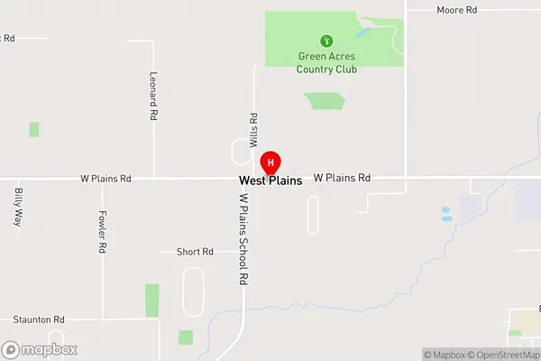
West PlainsWest Plains Area Map (Street)
Local Authority
Invercargill CityFull Address
West Plains, Invercargill City, New ZealandAddress Type
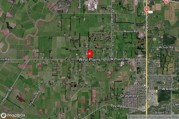
Locality in City InvercargillWest Plains Suburb Map (Satellite)
Country
Main Region in AU
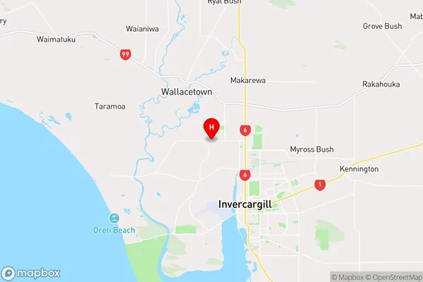
SouthlandWest Plains Region Map
Coordinates
-46.36936,168.31445 (latitude/longitude)Distances
The distance from West Plains, Invercargill, Invercargill City to NZ Top 10 Cities