Egmont Village Area, Egmont Village Postcode(4342) & Map in Egmont Village
Egmont Village Area, Egmont Village Postcode(4342) & Map in Egmont Village, New Plymouth District, New Zealand
Egmont Village, New Plymouth District, New Zealand
Egmont Village Postcodes
Egmont Village Area (estimated)
30.8 square kilometersEgmont Village Population (estimated)
856 people live in Egmont Village, Taranaki, NZEgmont Village Suburb Area Map (Polygon)
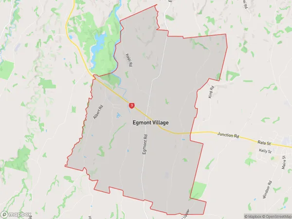
Egmont Village Introduction
Egmont Village is a small settlement located in the Egmont National Park in Taranaki, New Zealand. It is situated at the base of Mount Taranaki and is a popular tourist destination for its scenic views, hiking trails, and mountain biking opportunities. The village has a variety of accommodation options, including hotels, motels, and vacation rentals, as well as a few restaurants and cafes. Visitors can also explore the nearby Egmont National Park, which is home to a variety of wildlife, including the Taranaki Mountain Fox and the North Island Brown Kiwi.Region
Major City
Suburb Name
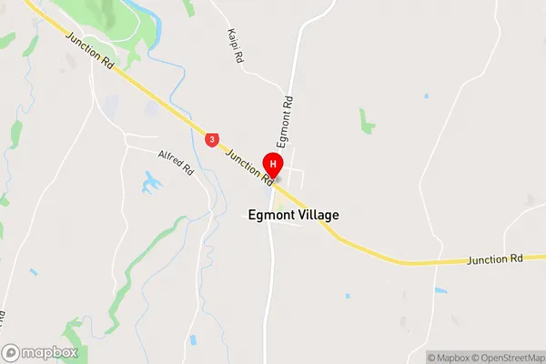
Egmont VillageEgmont Village Area Map (Street)
Local Authority
New Plymouth DistrictFull Address
Egmont Village, New Plymouth District, New ZealandAddress Type
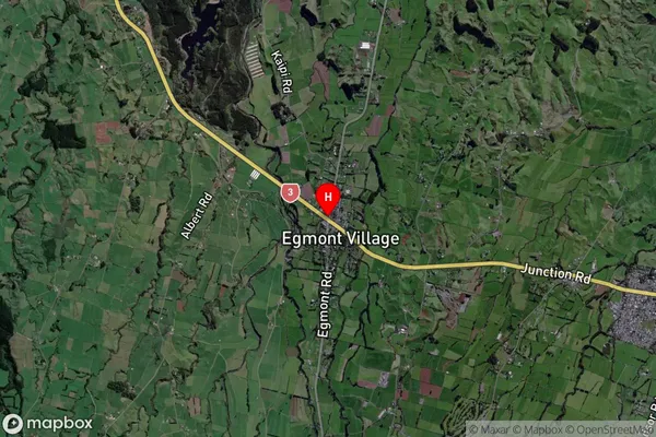
Locality in Major Locality Egmont VillageEgmont Village Suburb Map (Satellite)
Country
Main Region in AU
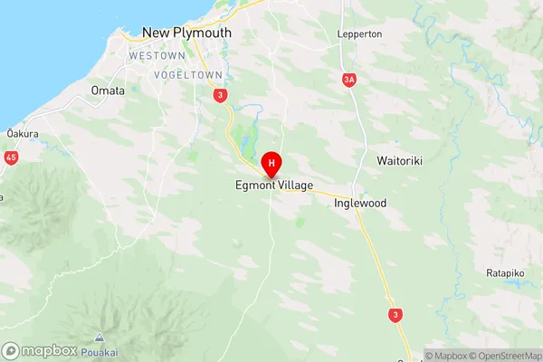
TaranakiEgmont Village Region Map
Coordinates
-39.1453874,174.1449837 (latitude/longitude)Distances
The distance from Egmont Village, Egmont Village, New Plymouth District to NZ Top 10 Cities