Whau Valley Area, Whau Valley Postcode(0112) & Map in Whau Valley
Whau Valley Area, Whau Valley Postcode(0112) & Map in Whau Valley, Whangarei District, New Zealand
Whau Valley, Whangarei District, New Zealand
Whau Valley Postcodes
Whau Valley Area (estimated)
9.7 square kilometersWhau Valley Population (estimated)
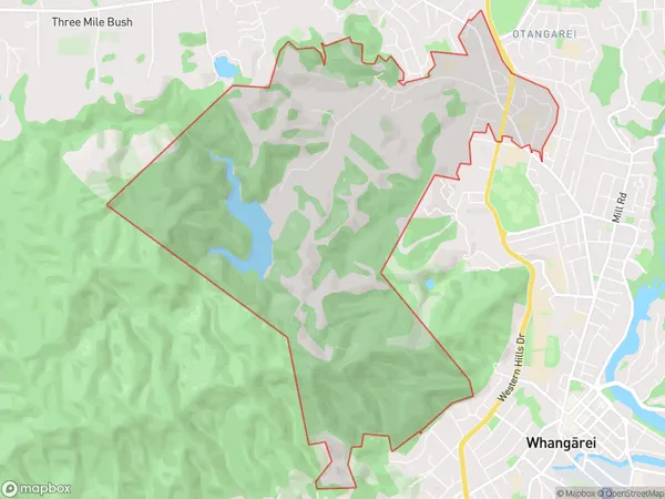
2199 people live in Whau Valley, Whangārei, NZWhau Valley Suburb Area Map (Polygon)
Whau Valley Introduction
Whau Valley is a picturesque rural area located in the Whangarei region of Northland, New Zealand. It is known for its lush green forests, waterfalls, and stunning natural landscapes. The valley is a popular destination for outdoor activities such as hiking, mountain biking, and fishing, and is home to a variety of native birds and animals. The area has a rich cultural history, with several historic buildings and sites located throughout the valley.Region
Major City
Suburb Name
Whau ValleyOther Name(s)
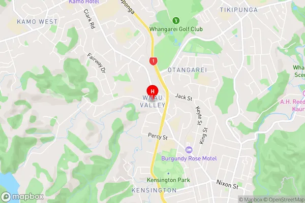
MairtownWhau Valley Area Map (Street)
Local Authority
Whangarei DistrictFull Address
Whau Valley, Whangarei District, New ZealandAddress Type
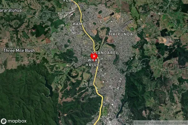
Suburb in City WhangareiWhau Valley Suburb Map (Satellite)
Country
Main Region in AU
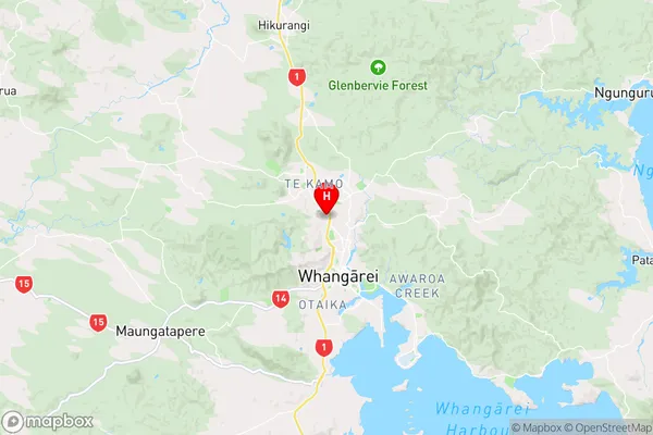
NorthlandWhau Valley Region Map
Coordinates
-35.6974381,174.3118197 (latitude/longitude)Distances
The distance from Whau Valley, Whangarei, Whangarei District to NZ Top 10 Cities