Churton Park Area, Churton Park Postcode(6037) & Map in Churton Park
Churton Park Area, Churton Park Postcode(6037) & Map in Churton Park, Wellington City, New Zealand
Churton Park, Wellington City, New Zealand
Churton Park Postcodes
Churton Park Area (estimated)
4.8 square kilometersChurton Park Population (estimated)
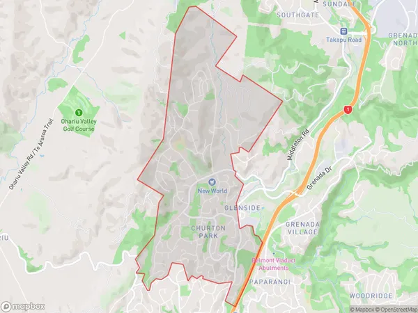
7398 people live in Churton Park, Wellington, NZChurton Park Suburb Area Map (Polygon)
Churton Park Introduction
Churton Park is a suburb of Wellington, New Zealand, located in the southern part of the city. It is known for its well-preserved colonial architecture and leafy streets. The suburb is home to a variety of shops, restaurants, and recreational facilities, including the Churton Park Golf Club and the Churton Park Community Centre. It is also in close proximity to the Wellington Zoo and the Botanic Gardens.Region
Major City
Suburb Name
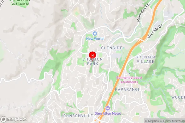
Churton ParkChurton Park Area Map (Street)
Local Authority
Wellington CityFull Address
Churton Park, Wellington City, New ZealandAddress Type
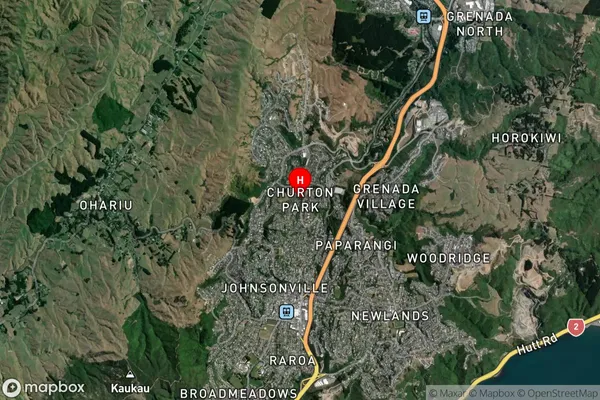
Suburb in City WellingtonChurton Park Suburb Map (Satellite)
Country
Main Region in AU
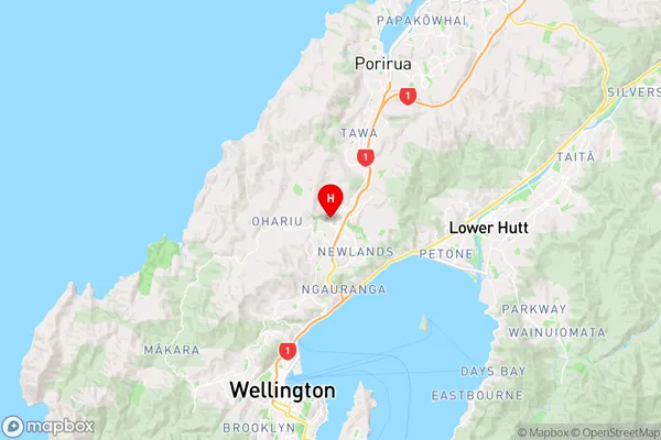
WellingtonChurton Park Region Map
Coordinates
-41.2089378,174.8071379 (latitude/longitude)Distances
The distance from Churton Park, Wellington, Wellington City to NZ Top 10 Cities