Taramoa Area, Taramoa Postcode & Map in Taramoa
Taramoa Area, Taramoa Postcode & Map in Taramoa, Southland District, New Zealand
Taramoa, Southland District, New Zealand
Taramoa Area (estimated)
61.8 square kilometersTaramoa Population (estimated)
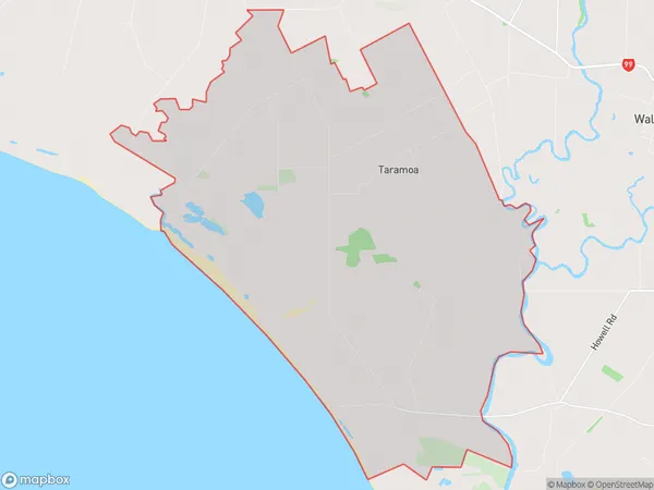
83 people live in Taramoa, Oreti Community, NZTaramoa Suburb Area Map (Polygon)
Taramoa Introduction
Taramoa is a small rural community in Southland, New Zealand, located on the banks of the Mataura River. It is known for its stunning natural scenery, including mountains, forests, and rivers. The community has a population of around 100 people and is home to a primary school, a church, and a few small businesses. Taramoa is a popular destination for outdoor enthusiasts, with many opportunities for hiking, fishing, and hunting. The area is also home to a number of historic buildings, including the Taramoa Hotel, which was built in 1886.Region
Major City
Suburb Name
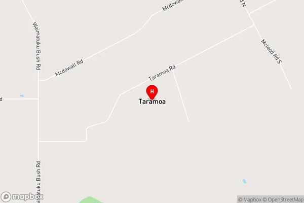
TaramoaTaramoa Area Map (Street)
Local Authority
Southland DistrictFull Address
Taramoa, Southland District, New ZealandAddress Type
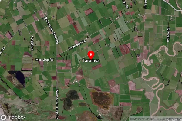
Locality in City InvercargillTaramoa Suburb Map (Satellite)
Country
Main Region in AU
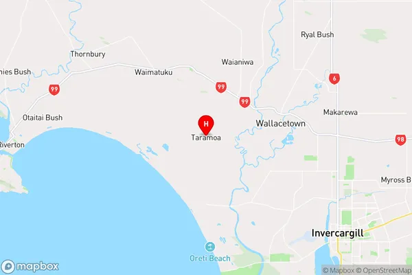
SouthlandTaramoa Region Map
Coordinates
-46.34602,168.21557 (latitude/longitude)Distances
The distance from Taramoa, Invercargill, Southland District to NZ Top 10 Cities