Double Hill Area, Double Hill Postcode & Map in Double Hill, Ashburton District
Double Hill Area, Double Hill Postcode & Map in Double Hill, Ashburton District, Selwyn District, New Zealand
Double Hill, Ashburton District, Selwyn District, New Zealand
Double Hill Area (estimated)
632.3 square kilometersDouble Hill Population (estimated)
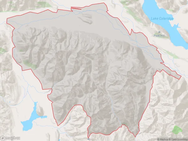
9 people live in Double Hill, Canterbury, NZDouble Hill Suburb Area Map (Polygon)
Double Hill Introduction
Double Hill is a historic homestead in Methven, Canterbury, New Zealand. It was built in the 1860s and is a typical example of a rural New Zealand farmstead. The homestead is surrounded by picturesque gardens and farmland, and it is listed as a "Category I" historic place by the New Zealand Historic Places Trust.Region
Major City
Suburb Name
Double HillOther Name(s)
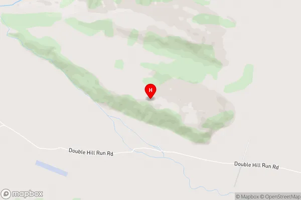
ColeridgeDouble Hill Area Map (Street)
Local Authority
Ashburton District, Selwyn DistrictFull Address
Double Hill, Ashburton District, Selwyn District, New ZealandAddress Type
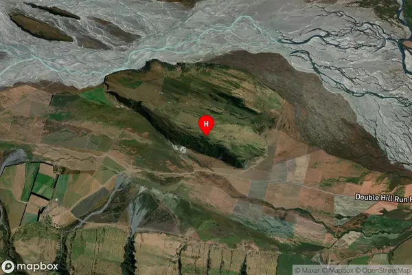
Locality in Town MethvenDouble Hill Suburb Map (Satellite)
Country
Main Region in AU
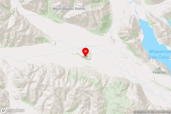
CanterburyDouble Hill Region Map
Coordinates
-43.298056,171.314139 (latitude/longitude)Distances
The distance from Double Hill, Methven, Ashburton District, Selwyn District to NZ Top 10 Cities