Gammack Area, Gammack Postcode & Map in Gammack
Gammack Area, Gammack Postcode & Map in Gammack, Mackenzie District,
Gammack, Mackenzie District,
Gammack Area (estimated)
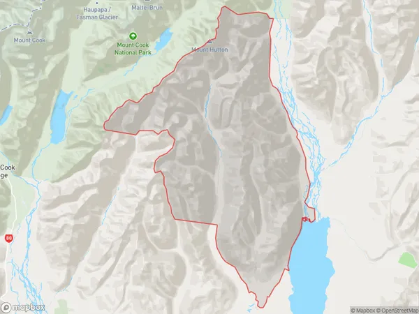
448.1 square kilometersGammack Population (estimated)
1 people live in Gammack, Twizel, NZGammack Suburb Area Map (Polygon)
Gammack Introduction
Gammack, Lake Tekapo, Canterbury, New Zealand, is a small rural community located near the southern end of Lake Tekapo. It is known for its stunning natural scenery, including the iconic Mount John Observatory, and its peaceful atmosphere. The town has a population of around 100 people and is a popular destination for tourists and outdoor enthusiasts.Region
Major City
Suburb Name
GammackGammack Area Map (Street)
Local Authority
Mackenzie DistrictFull Address
Gammack, Mackenzie District,Address Type
Locality in Major Locality Lake TekapoGammack Suburb Map (Satellite)
Country
Main Region in AU
CanterburyGammack Region Map
Coordinates
0,0 (latitude/longitude)Distances
The distance from Gammack, Lake Tekapo, Mackenzie District to NZ Top 10 Cities