Cattle Flat Area, Cattle Flat Postcode & Map in Cattle Flat
Cattle Flat Area, Cattle Flat Postcode & Map in Cattle Flat, Southland District, New Zealand
Cattle Flat, Southland District, New Zealand
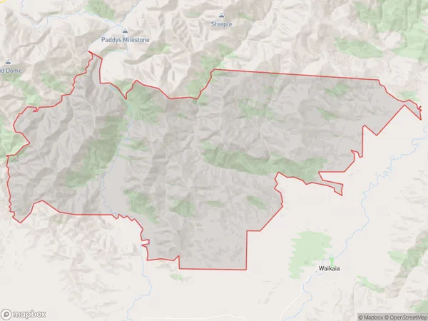
Cattle Flat Area (estimated)
340.3 square kilometersCattle Flat Population (estimated)
53 people live in Cattle Flat, Southland, NZCattle Flat Suburb Area Map (Polygon)
Cattle Flat Introduction
Cattle Flat is a small rural community located in the Southland region of New Zealand. It is situated in the Riversdale Valley, surrounded by picturesque mountains and farmland. The community has a population of around 100 people and is known for its friendly community atmosphere and traditional New Zealand farming practices. Cattle Flat is also home to a historic church and a small museum that showcases the area's rich history and culture.Region
Major City
Suburb Name
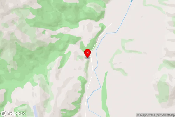
Cattle FlatCattle Flat Area Map (Street)
Local Authority
Southland DistrictFull Address
Cattle Flat, Southland District, New ZealandAddress Type
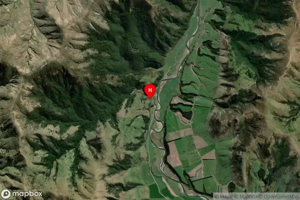
Locality in Town RiversdaleCattle Flat Suburb Map (Satellite)
Country
Main Region in AU
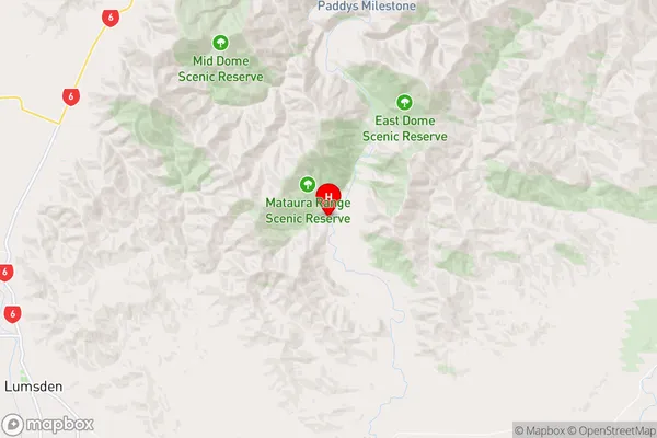
SouthlandCattle Flat Region Map
Coordinates
-45.6652554,168.6275509 (latitude/longitude)Distances
The distance from Cattle Flat, Riversdale, Southland District to NZ Top 10 Cities