Braeburn Range Area, Braeburn Range Postcode & Map in Braeburn Range
Braeburn Range Area, Braeburn Range Postcode & Map in Braeburn Range, Tasman District,
Braeburn Range, Tasman District,
Braeburn Range Area (estimated)
230.5 square kilometersBraeburn Range Population (estimated)
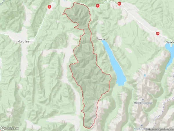
4 people live in Braeburn Range, Murchison, NZBraeburn Range Suburb Area Map (Polygon)
Braeburn Range Introduction
The Braeburn Range is a mountain range located in the Murchison region of New Zealand's South Island. It is part of the Southern Alps and is known for its stunning alpine scenery, including glaciers, lakes, and waterfalls. The range is a popular destination for outdoor enthusiasts, with numerous hiking and skiing trails. The highest peak in the range is Mount Braeburn, which reaches a height of 1,750 meters.Region
Major City
Suburb Name
Braeburn RangeBraeburn Range Area Map (Street)
Local Authority
Tasman DistrictFull Address
Braeburn Range, Tasman District,Address Type
Locality in Town MurchisonBraeburn Range Suburb Map (Satellite)
Country
Main Region in AU
TasmanBraeburn Range Region Map
Coordinates
0,0 (latitude/longitude)Distances
The distance from Braeburn Range, Murchison, Tasman District to NZ Top 10 Cities