Shenandoah Area, Shenandoah Postcode & Map in Shenandoah
Shenandoah Area, Shenandoah Postcode & Map in Shenandoah, Tasman District, New Zealand
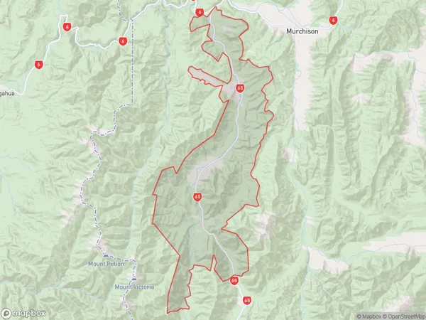
Shenandoah, Tasman District, New Zealand
Shenandoah Area (estimated)
215.0 square kilometersShenandoah Population (estimated)
75 people live in Shenandoah, Tasman, NZShenandoah Suburb Area Map (Polygon)
Shenandoah Introduction
Shenandoah is a small rural town in the West Coast region of New Zealand's South Island. It is located in the Murchison District and is surrounded by stunning natural scenery, including the Southern Alps and the West Coast Range. The town has a population of around 100 people and is known for its peaceful atmosphere and friendly community. Shenandoah is a popular destination for outdoor enthusiasts, with many opportunities for hiking, skiing, and fishing. The town also has a historic church and a small museum that showcases the area's rich history and culture.Region
Major City
Suburb Name
ShenandoahOther Name(s)
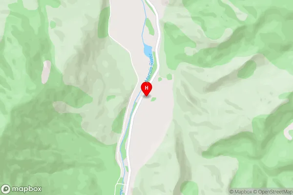
Ariki, Glengarry, Minehaha, PaengaShenandoah Area Map (Street)
Local Authority
Tasman DistrictFull Address
Shenandoah, Tasman District, New ZealandAddress Type
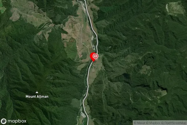
Locality in Town MurchisonShenandoah Suburb Map (Satellite)
Country
Main Region in AU
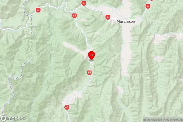
TasmanShenandoah Region Map
Coordinates
-41.8660125,172.2515273 (latitude/longitude)Distances
The distance from Shenandoah, Murchison, Tasman District to NZ Top 10 Cities