Wrights Bush Area, Wrights Bush Postcode & Map in Wrights Bush
Wrights Bush Area, Wrights Bush Postcode & Map in Wrights Bush, Southland District, New Zealand
Wrights Bush, Southland District, New Zealand
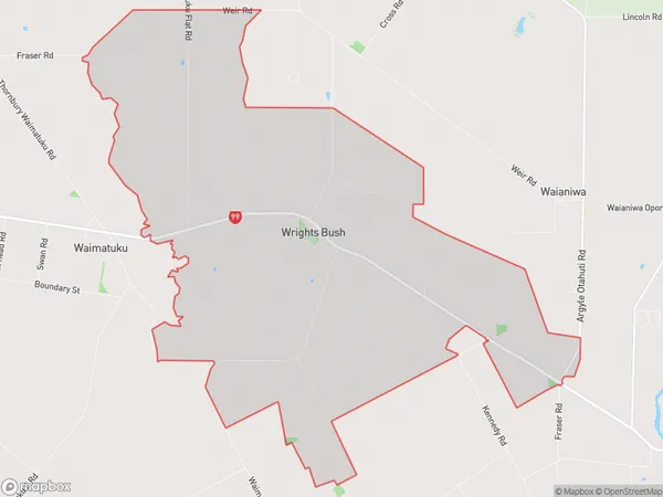
Wrights Bush Area (estimated)
25.7 square kilometersWrights Bush Population (estimated)
126 people live in Wrights Bush, Southland, NZWrights Bush Suburb Area Map (Polygon)
Wrights Bush Introduction
Wrights Bush is a picturesque 10-minute walk from central Invercargill, Southland, New Zealand. It is a popular spot for tourists and locals to enjoy nature walks, picnics, and birdwatching. The bush is named after the Wright brothers, who flew their first powered aircraft in New Zealand in 1903. The area is also home to a variety of plant and animal species, including native birds, reptiles, and insects.Region
Major City
Suburb Name
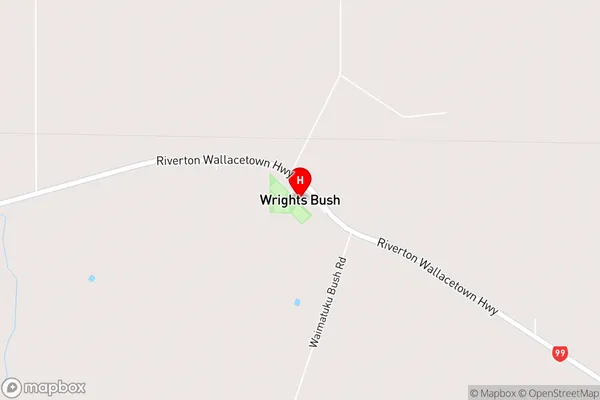
Wrights BushWrights Bush Area Map (Street)
Local Authority
Southland DistrictFull Address
Wrights Bush, Southland District, New ZealandAddress Type
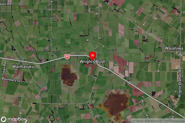
Locality in City InvercargillWrights Bush Suburb Map (Satellite)
Country
Main Region in AU
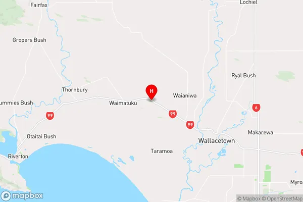
SouthlandWrights Bush Region Map
Coordinates
-46.2990483,168.2017542 (latitude/longitude)Distances
The distance from Wrights Bush, Invercargill, Southland District to NZ Top 10 Cities