Woodlands Area, Woodlands Postcode(9871) & Map in Woodlands
Woodlands Area, Woodlands Postcode(9871) & Map in Woodlands, Southland District, New Zealand
Woodlands, Southland District, New Zealand
Woodlands Postcodes
Woodlands Area (estimated)
36.6 square kilometersWoodlands Population (estimated)
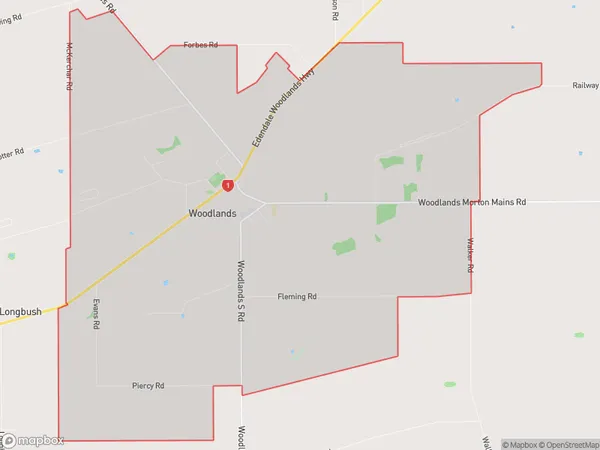
317 people live in Woodlands, Waihopai Toetoe Community, NZWoodlands Suburb Area Map (Polygon)
Woodlands Introduction
Woodlands is a suburb of Invercargill, Southland, New Zealand. It is located on the southern bank of the Oreti River and is home to a variety of businesses and industries. The suburb has a population of around 1,500 people and is known for its scenic surroundings and historic buildings.Region
Major City
Suburb Name
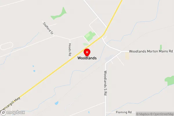
WoodlandsWoodlands Area Map (Street)
Local Authority
Southland DistrictFull Address
Woodlands, Southland District, New ZealandAddress Type
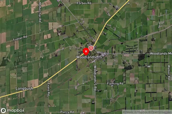
Locality in City InvercargillWoodlands Suburb Map (Satellite)
Country
Main Region in AU
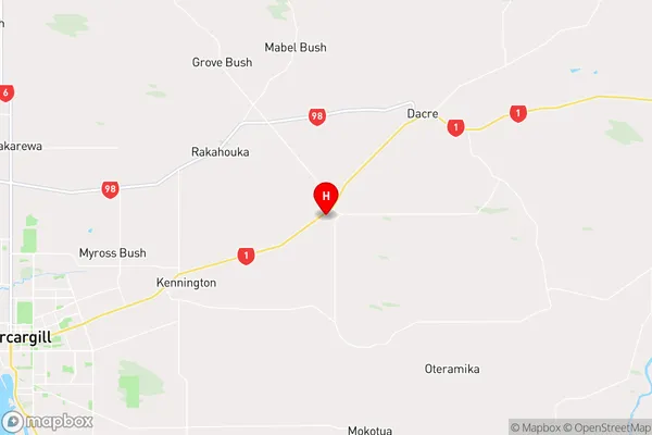
SouthlandWoodlands Region Map
Coordinates
-46.35975,168.54652 (latitude/longitude)Distances
The distance from Woodlands, Invercargill, Southland District to NZ Top 10 Cities