Woodend Area, Woodend Postcode(9877) & Map in Woodend
Woodend Area, Woodend Postcode(9877) & Map in Woodend, Invercargill City, New Zealand
Woodend, Invercargill City, New Zealand
Woodend Area (estimated)
23.7 square kilometersWoodend Population (estimated)
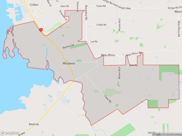
223 people live in Woodend, Invercargill City, NZWoodend Suburb Area Map (Polygon)
Woodend Introduction
Woodend is a small town in Southland, New Zealand, located on the banks of the Clutha River. It is known for its picturesque gardens, historic homes, and vibrant arts community. The town has a population of around 3,000 people and is a popular destination for tourists and locals alike.Region
Major City
Suburb Name
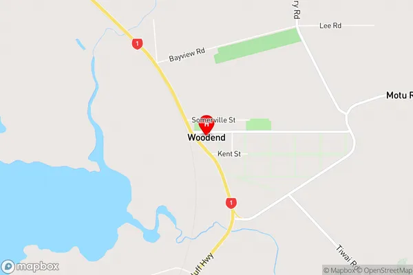
WoodendWoodend Area Map (Street)
Local Authority
Invercargill CityFull Address
Woodend, Invercargill City, New ZealandAddress Type
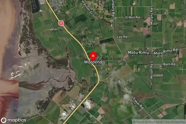
Suburb in City InvercargillWoodend Suburb Map (Satellite)
Country
Main Region in AU
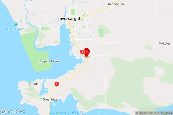
SouthlandWoodend Region Map
Coordinates
-46.4759887,168.3881434 (latitude/longitude)Distances
The distance from Woodend, Invercargill, Invercargill City to NZ Top 10 Cities