Wheki Valley Area, Wheki Valley Postcode & Map in Wheki Valley
Wheki Valley Area, Wheki Valley Postcode & Map in Wheki Valley, Whangarei District, New Zealand
Wheki Valley, Whangarei District, New Zealand
Wheki Valley Area (estimated)
35.8 square kilometersWheki Valley Population (estimated)
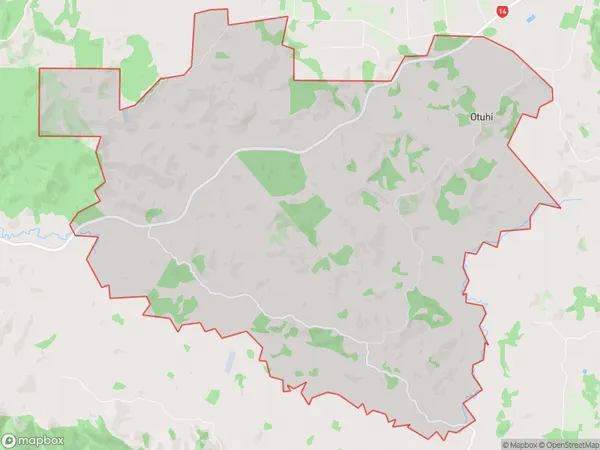
216 people live in Wheki Valley, Northland, NZWheki Valley Suburb Area Map (Polygon)
Wheki Valley Introduction
Whangarei is a city in Northland, New Zealand, and is known for its natural beauty, including the nearby Wheki Valley. The valley is a popular spot for hiking, mountain biking, and picnicking, with stunning views of the surrounding countryside and the opportunity to see native birds and wildlife. The Wheki River runs through the valley, providing a source of water for the region and supporting a variety of plant and animal life.Region
Major City
Suburb Name
Wheki ValleyOther Name(s)
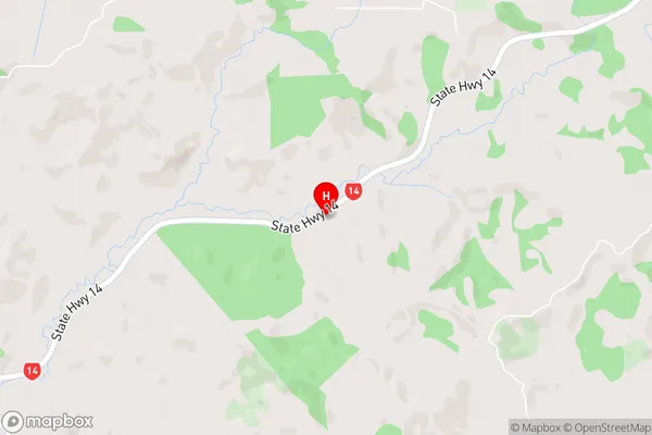
OtuhiWheki Valley Area Map (Street)
Local Authority
Whangarei DistrictFull Address
Wheki Valley, Whangarei District, New ZealandAddress Type
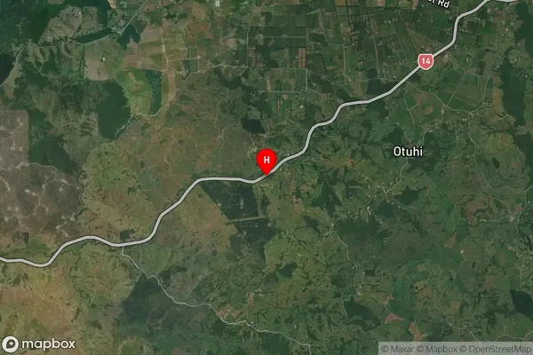
Locality in City WhangareiWheki Valley Suburb Map (Satellite)
Country
Main Region in AU
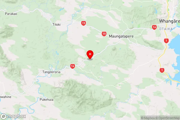
NorthlandWheki Valley Region Map
Coordinates
-35.7998545,174.1355538 (latitude/longitude)Distances
The distance from Wheki Valley, Whangarei, Whangarei District to NZ Top 10 Cities