Wendonside Area, Wendonside Postcode & Map in Wendonside
Wendonside Area, Wendonside Postcode & Map in Wendonside, Southland District, New Zealand
Wendonside, Southland District, New Zealand
Wendonside Area (estimated)
47.1 square kilometersWendonside Population (estimated)
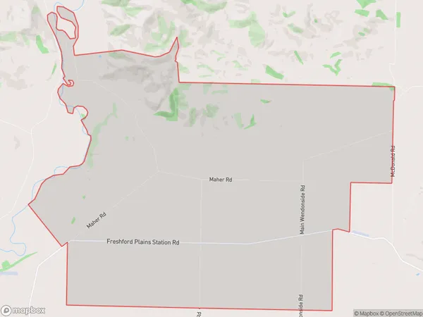
54 people live in Wendonside, Southland, NZWendonside Suburb Area Map (Polygon)
Wendonside Introduction
Wendonside is a small rural community in Southland, New Zealand. It is located on the banks of the Mataura River, approximately 10 kilometers south of Gore. The area is known for its scenic countryside, with rolling hills, lush green fields, and picturesque rivers. Wendonside has a population of around 100 people and is home to a variety of businesses, including a hotel, a convenience store, and a farm supply store. The community is also home to a number of historic buildings, including the Wendonside Hall, which was built in 1908.Region
Major City
Suburb Name
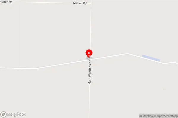
WendonsideWendonside Area Map (Street)
Local Authority
Southland DistrictFull Address
Wendonside, Southland District, New ZealandAddress Type
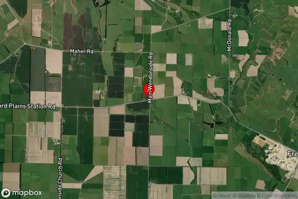
Locality in Town RiversdaleWendonside Suburb Map (Satellite)
Country
Main Region in AU
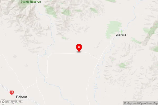
SouthlandWendonside Region Map
Coordinates
-45.7578068,168.7407947 (latitude/longitude)Distances
The distance from Wendonside, Riversdale, Southland District to NZ Top 10 Cities