Wendon Area, Wendon Postcode(9710) & Map in Wendon, Gore District
Wendon Area, Wendon Postcode(9710) & Map in Wendon, Gore District, Southland District, New Zealand
Wendon, Gore District, Southland District, New Zealand
Wendon Postcodes
Wendon Area (estimated)
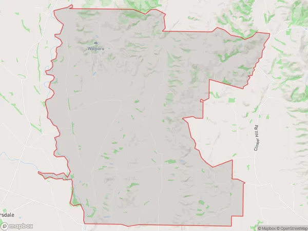
176.6 square kilometersWendon Population (estimated)
145 people live in Wendon, Southland, NZWendon Suburb Area Map (Polygon)
Wendon Introduction
Wendon is a small rural community in Southland, New Zealand, located on the banks of the Mataura River. It is known for its scenic countryside, historic buildings, and friendly locals. The area has a rich history of farming and forestry, and is home to a variety of wildlife, including deer, rabbits, and birds. Wendon is also home to a number of popular outdoor activities, such as hiking, fishing, and hunting.Region
Major City
Suburb Name
WendonOther Name(s)
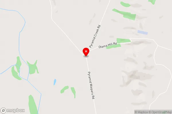
PyramidWendon Area Map (Street)
Local Authority
Gore District, Southland DistrictFull Address
Wendon, Gore District, Southland District, New ZealandAddress Type
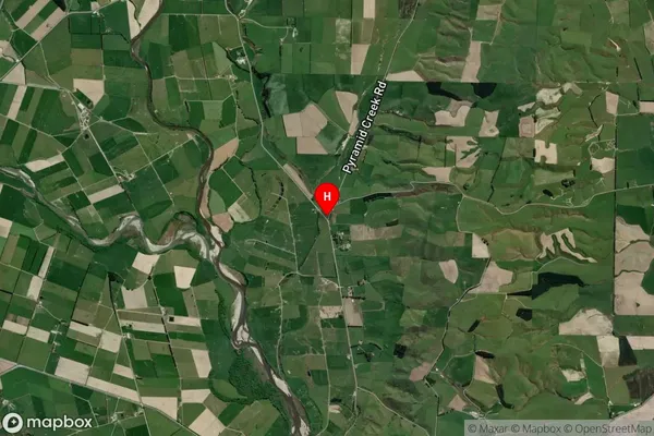
Locality in Town RiversdaleWendon Suburb Map (Satellite)
Country
Main Region in AU
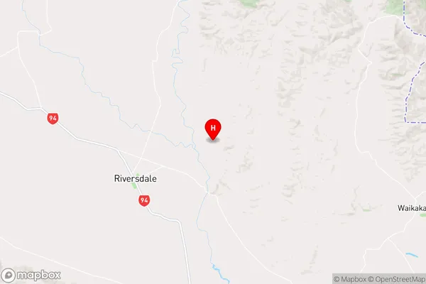
SouthlandWendon Region Map
Coordinates
-45.8766982,168.8189006 (latitude/longitude)Distances
The distance from Wendon, Riversdale, Gore District, Southland District to NZ Top 10 Cities