Wairoa Valley Area, Wairoa Valley Postcode & Map in Wairoa Valley
Wairoa Valley Area, Wairoa Valley Postcode & Map in Wairoa Valley, Tasman District,
Wairoa Valley, Tasman District,
Wairoa Valley Area (estimated)
85.7 square kilometersWairoa Valley Population (estimated)
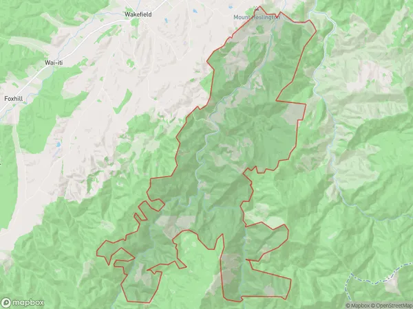
168 people live in Wairoa Valley, Brightwater, NZWairoa Valley Suburb Area Map (Polygon)
Wairoa Valley Introduction
Wairoa Valley is a picturesque rural community located in the Brightwater area of Tasman, New Zealand. It is known for its stunning natural scenery, including rolling hills, lush green valleys, and picturesque rivers. The area is popular with outdoor enthusiasts and nature lovers, who enjoy activities such as hiking, mountain biking, fishing, and hunting. The community has a small population of around 1,000 people and is surrounded by stunning natural beauty, making it a peaceful and tranquil place to live.Region
Major City
Suburb Name
Wairoa ValleyWairoa Valley Area Map (Street)
Local Authority
Tasman DistrictFull Address
Wairoa Valley, Tasman District,Address Type
Locality in Town BrightwaterWairoa Valley Suburb Map (Satellite)
Country
Main Region in AU
TasmanWairoa Valley Region Map
Coordinates
0,0 (latitude/longitude)Distances
The distance from Wairoa Valley, Brightwater, Tasman District to NZ Top 10 Cities