Waimea Area, Waimea Postcode & Map in Waimea
Waimea Area, Waimea Postcode & Map in Waimea, Southland District,
Waimea, Southland District,
Waimea Area (estimated)
23.0 square kilometersWaimea Population (estimated)
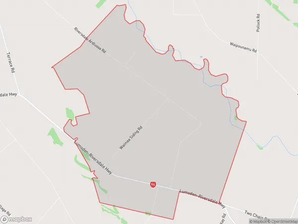
49 people live in Waimea, Gore, NZWaimea Suburb Area Map (Polygon)
Waimea Introduction
Waimea is a small rural town in the Otago region of New Zealand, located on the banks of the Waimea River. It is known for its beautiful scenery, including the Waimea Plains, and for its rich agricultural heritage. The town has a population of around 1,000 people and is a popular destination for tourists and outdoor enthusiasts.Region
Major City
Suburb Name
WaimeaWaimea Area Map (Street)
Local Authority
Southland DistrictFull Address
Waimea, Southland District,Address Type
Locality in Town RiversdaleWaimea Suburb Map (Satellite)
Country
Main Region in AU
OtagoWaimea Region Map
Coordinates
0,0 (latitude/longitude)Distances
The distance from Waimea, Riversdale, Southland District to NZ Top 10 Cities