Waihopai Area, Waihopai Postcode(9810) & Map in Waihopai
Waihopai Area, Waihopai Postcode(9810) & Map in Waihopai, Invercargill City, New Zealand
Waihopai, Invercargill City, New Zealand
Waihopai Postcodes
Waihopai Area (estimated)
9.1 square kilometersWaihopai Population (estimated)
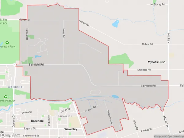
580 people live in Waihopai, Invercargill City, NZWaihopai Suburb Area Map (Polygon)
Waihopai Introduction
Waihopai is a small rural community in Southland, New Zealand, located on State Highway 6 between Invercargill and Winton. It is known for its scenic surroundings, including the Waihopai Valley and the Waihopai Range. The community has a primary school, a post office, and a small supermarket. Waihopai is also home to a variety of wildlife, including kea, tui, and kiwi.Region
Major City
Suburb Name
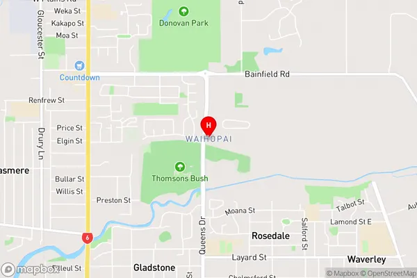
WaihopaiWaihopai Area Map (Street)
Local Authority
Invercargill CityFull Address
Waihopai, Invercargill City, New ZealandAddress Type
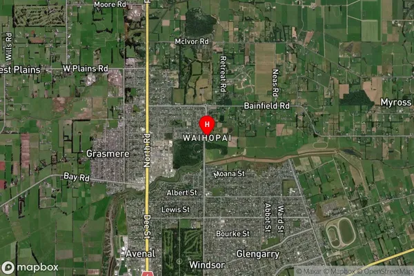
Suburb in City InvercargillWaihopai Suburb Map (Satellite)
Country
Main Region in AU
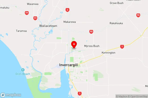
SouthlandWaihopai Region Map
Coordinates
-46.381088,168.3622169 (latitude/longitude)Distances
The distance from Waihopai, Invercargill, Invercargill City to NZ Top 10 Cities