Waianiwa Area, Waianiwa Postcode(9874) & Map in Waianiwa
Waianiwa Area, Waianiwa Postcode(9874) & Map in Waianiwa, Southland District, New Zealand
Waianiwa, Southland District, New Zealand
Waianiwa Postcodes
Waianiwa Area (estimated)
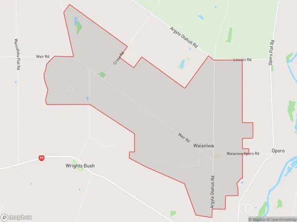
19.3 square kilometersWaianiwa Population (estimated)
160 people live in Waianiwa, Oreti Community, NZWaianiwa Suburb Area Map (Polygon)
Waianiwa Introduction
Waianiwa is a small rural community in Southland, New Zealand. It is located on State Highway 6, approximately 12 km south of Invercargill and 22 km north of Gore. The community has a population of around 100 people and is known for its scenic surroundings and peaceful atmosphere. The area is popular with outdoor enthusiasts, with many opportunities for hiking, fishing, and hunting. Waianiwa also has a historic church and a small community hall.Region
Major City
Suburb Name
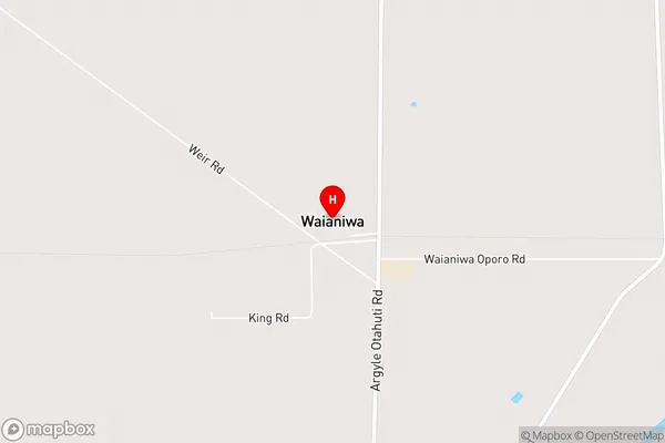
WaianiwaWaianiwa Area Map (Street)
Local Authority
Southland DistrictFull Address
Waianiwa, Southland District, New ZealandAddress Type
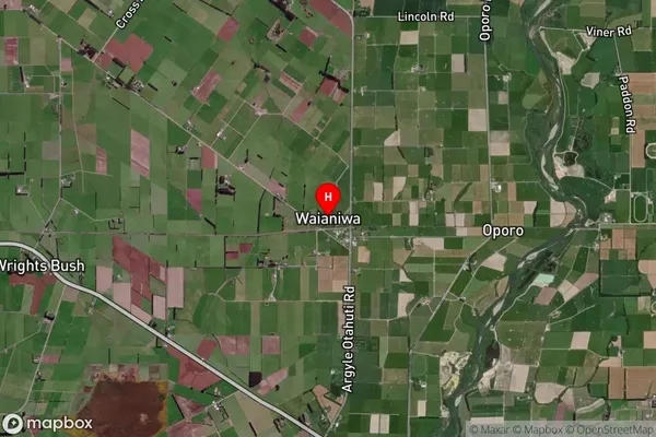
Locality in City InvercargillWaianiwa Suburb Map (Satellite)
Country
Main Region in AU
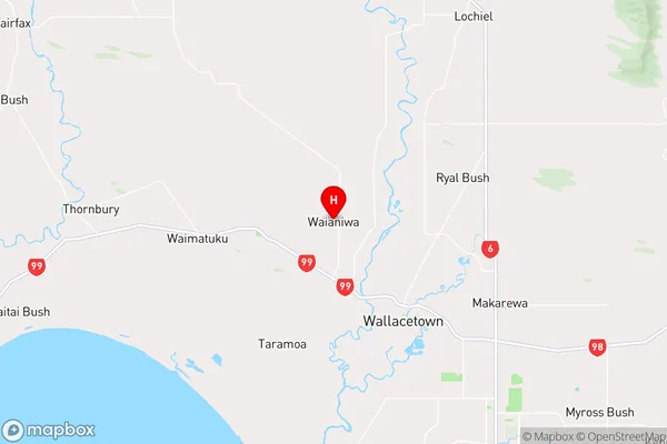
SouthlandWaianiwa Region Map
Coordinates
-46.2939349,168.2471459 (latitude/longitude)Distances
The distance from Waianiwa, Invercargill, Southland District to NZ Top 10 Cities