Wadestown Area, Wadestown Postcode(6035) & Map in Wadestown
Wadestown Area, Wadestown Postcode(6035) & Map in Wadestown, Wellington City, New Zealand
Wadestown, Wellington City, New Zealand
Wadestown Area (estimated)
1.7 square kilometersWadestown Population (estimated)
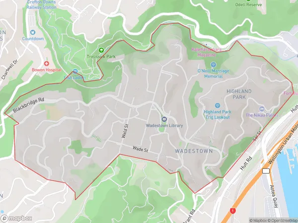
3778 people live in Wadestown, Wellington, NZWadestown Suburb Area Map (Polygon)
Wadestown Introduction
Wadestown is a historic suburb of Wellington, New Zealand, known for its well-preserved Victorian architecture and vibrant community. It is located on the western shore of Wellington Harbour and is home to the Wadestown Museum, the National Library of New Zealand, and the Government House. The suburb has a rich history dating back to the 1840s and was named after the town of Wadestown, Pennsylvania, by early settlers. It is a popular area for tourists and locals alike, with many cafes, restaurants, and shops lining the streets.Region
Major City
Suburb Name
WadestownOther Name(s)
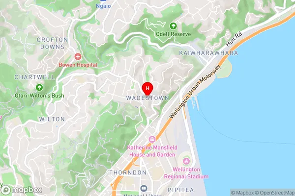
Highland ParkWadestown Area Map (Street)
Local Authority
Wellington CityFull Address
Wadestown, Wellington City, New ZealandAddress Type
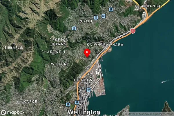
Suburb in City WellingtonWadestown Suburb Map (Satellite)
Country
Main Region in AU
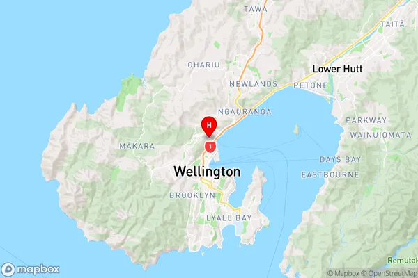
WellingtonWadestown Region Map
Coordinates
-41.2647151,174.7790775 (latitude/longitude)Distances
The distance from Wadestown, Wellington, Wellington City to NZ Top 10 Cities